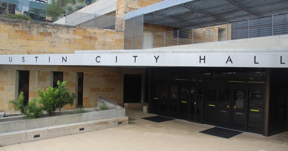
Austin's new City Council district map is certified, firming up new political boundaries in the city for the coming decade.

The volunteer Independent Citizens Redistricting Commission, the panel of city residents tasked with using the latest U.S. Census Bureau data to craft a new council map, unanimously voted to certify its plan Oct. 27. The plan was developed after months of community input and commission deliberations and is in line with the final boundary plan set earlier this month.

The new City Council districts feature boundaries that roughly resemble those in place since 2013 with a range of adjustments made to account for population changes identified in the 2020 census. Districts were also reshaped through the process based on resident and commissioner feedback to keep local characteristics and communities intact.

The district lines will be in effect for next year's City Council elections and will next be updated following the release of 2030 census data.

“You have shown what nonpartisan citizen-based redistricting can achieve," said Peck Young, a political consultant who collaborated with the ICRC on behalf of Austin's NAACP/Hispanic Coalition. "One need only look at what has just passed the Legislature and compare it to your map to see what politicians trying to perpetuate their power and pick their voters will do versus [what] the citizens working in good faith will do and will accomplish.”


Young also commended the commission for setting up several minority opportunity districts, or areas with majority populations that have the opportunity to elect a representative of their choice.


While the ICRC did not make any notable edits to its final map Oct. 27, commissioners were asked to consider several small annexations the city has recently made. Mapping Specialist George Korbel said the last-minute annexation additions represent several hundred citizens out of council districts including more than 90,000 residents each and that the late changes will not significantly alter the planned characteristics of the districts

“None of these areas appear to me at this point to have any effect on the overall plan that you have. You will be well within the deviation range; it’s just you need to get them attached," Korbel said.


Commissioners agreed that if they deem it necessary, they will gather in the months ahead to consider future edits to the mapping plan if further questions arise or the city limits continue to expand. The commission will also complete a report documenting its process in the coming weeks.

“You should all be proud of yourselves. I am very proud of you; I’m proud of this process and proud of this group," City Auditor Corrie Stokes said before the map's final certification.