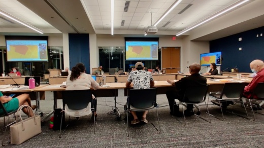
Austin's Independent Citizens Redistricting Commission, the panel of resident volunteers tasked with updating the 10 council district boundaries, unanimously approved its latest map Oct. 6. The vote came after commissioners worked through a series of tweaks to their previous draft map approved last month and likely represents the final version that will be presented to City Council by Nov. 1. The commission is set to certify their map in late October.
"This is intended to be the last night that we will make changes to the map, except in the unlikely event that there is some grave oversight that we have to correct for," said Chair Christina Puentes.
The map will first come into play for next fall's council elections and will be in effect through the 2020s.
The latest round of changes mainly stemmed from a three-week public comment period that generated dozens of comments from Austinites submitted in writing or during public forums. While they reviewed all feedback received in recent weeks, commissioners said they could not take on every change proposed by the community given their potential effects on other redistricting priorities outlined in Austin's city charter.
The charter directs the redistricting commission to draw boundary lines with primary consideration for leveling off the population between all 10 districts, providing minority populations the opportunity to elect council members of their preference, and maintaining geographic continuity. Most of the map amendments made Oct. 6 centered on the commission's fourth charter consideration: respecting the "geographic integrity of any local neighborhood or local community of interest."
Among the changes approved in Central Austin was the shift of the University of Texas campus surrounding the LBJ Presidential Library from District 1 to District 9. The move undid a portion of an adjustment commissioners made last month, and resulted in no population change with the library staying in District 1. A slice of District 3 located between I-35 and Parker Lane south of East Riverside Drive was also returned to District 9 at the request of residents there, Commissioner Errol Hardin said.
To the west, commissioners approved several changes that realigned the border of Districts 9 and 10 to keep the Bryker Woods and Old Enfield neighborhoods together, and moved Pease District Park entirely within District 10. Other shifts farther west included adjustments to the District 8 and 10 boundary to split along Hwy. 360.
The final plan sets estimated district populations between District 3's 91,533 residents and District 8's 99,175.
Mapping Specialist George Korbel, who managed mapping changes for commissioners, applauded the redistricting effort for its contrast to the similar process underway at the state level. Korbel commended the commission for producing compact council districts in line with community desires, and all of city charter's requirements.
"Your plans have gone through extensive, extensive, extensive remolding based on communities of interest and on testimony," Korbel said. "I’ve never seen a plan adopted anywhere in 50 years of doing this that spent as much time looking at probably the things that count an awful lot to everyday people, and count less to politicians."
While commissioners said they do not plan to make further changes to the mapping plan, members of the public interested in reviewing their work have around one month to do so before the map takes effect. The boundary plan will be available to view online and three public forums will also be held mid-October. The sessions include:
- Oct. 16. 11 a.m.-1 p.m. South Austin Recreation Center, 1100 Cumberland Road, Austin
- Oct. 18. 6-8 p.m. Zoom videoconference, https://zoom.us/webinar/register/WN_6HLo9vh3RYmiGYATryH8Pg
- Oct. 20. 6-8 p.m. Dell Jewish Community Center, 7300 Hart Lane, Austin


