
City staff emphasized that these plans do not mean that the parks or roads will be built right now or in the immediate future; the plans are meant as guidelines and a starting point for the city to work with developers and begin budgeting for various recreational spaces.
Here are some of the changes made to the parks plan, first approved in 2019:
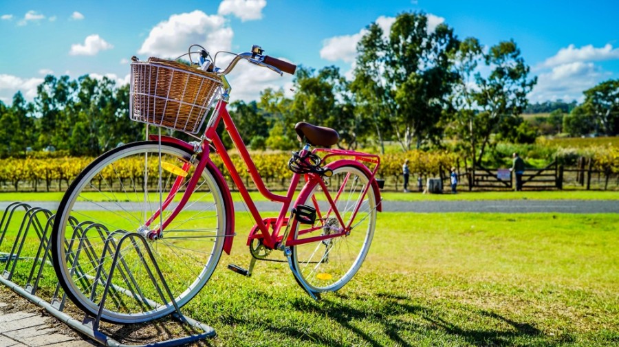
- Primrose Park: The city acquired additional acreage and added more parking spaces; the amphitheater was relocated to allow for restoring a meadow or prairie space; and another playground has been added. The first phase of Primrose Park, located off of Dixon Road, completed trails, an open play area and temporary parking spaces in December.
- Bessie’s Creek Park: This new park has been added based on tentative plans by Trendmaker Homes to develop property near the creek. If this park is pursued, it is envisioned as as a nature preservation space with trails, play areas, a fishing dock and prairie restoration space. An exact location was not provided in the plan.
- Fulshear Heritage Rail Trail: Previously known as Paseo Park, this proposed trail would be located within the median of FM 1093, and it would be designed to highlight Fulshear’s history with the San Antonio and Aransas Pass Railway. The new design of the recreational area was pared down based on feedback from the Fort Bend County Toll Road Authority, which could in the future tear down FM 1093 to expand the Westpark Tollway. If pursued, Fulshear Heritage Rail Trail could be part of a 31-mile rail-to-trail project planned between Eagle Lake to Fulshear along the abandoned railway.
- Citywide pathways and trails: Based on feedback from the city, the park plan's consultant redesigned a proposed trail system to get people away from streets and into nature and quiet places. Previously, the trail system ran along existing road right of way.
- new roads built since 2015;
- a new plan for Fulshear’s downtown area that takes into account the city’s Livable Center Study; and
- new roads between major thoroughfares—such as FM 1093, FM 359 and the upcoming Texas Heritage Parkway—that provide additional north-south and east-west pathways for free-flowing traffic and emergency access options.