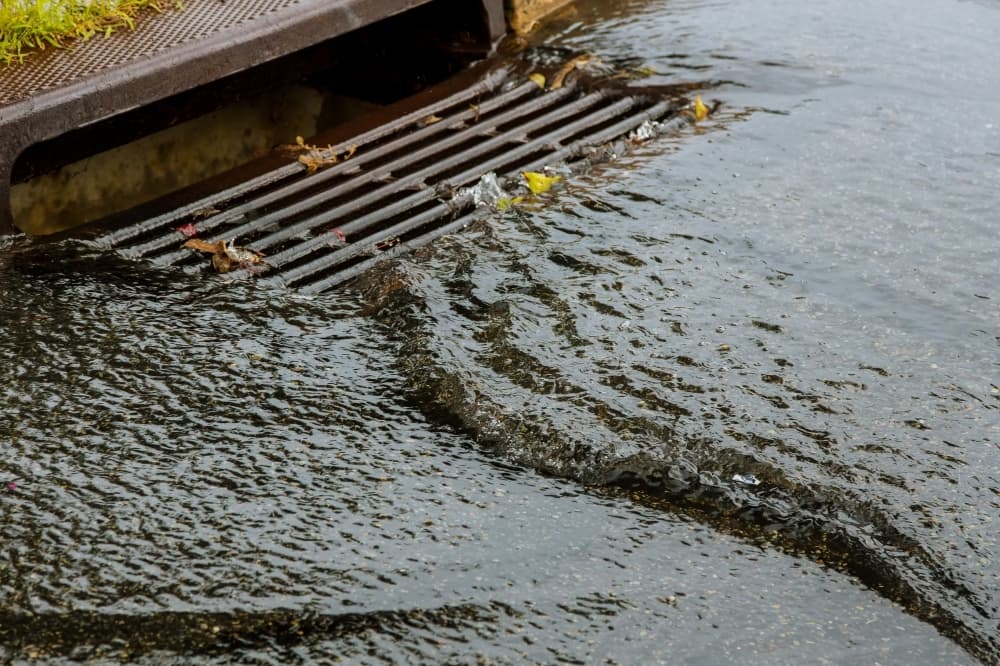
According to an 11:20 a.m. update from the NWS, widespread river and bayou flooding is ongoing. Water levels from the National Oceanic and Atmospheric Administration show major flooding at White Oak Bayou at Heights Boulevard, which peaked at 38.81 feet at 11:45 a.m. July 8.
A number of other bodies of water are expected to be at moderate flooding level, including:
- Caney Creek near the intersection of FM 2090 and Crockett Martin Road: anticipated to peak at 20.3 feet on July 9 at 4 p.m.
- Greens Bayou at I-45 North: peaked at 83.43 feet at 10:45 a.m. July 8
- Greens Bayou at Hwy. 59 North: peaked at 58.05 feet at noon July 8
- Langham Creek near the intersection of West Little York Road and Hwy. 6 North: anticipated to peak at 110 feet at 2 p.m. July 8
- Buffalo Bayou at Shepherd Drive: peaked at 32.13 feet at 12:30 p.m. July 8
To see water levels, click
here.
Additionally, Houston TransStar is reporting roadway hazards, including debris, electrical repairs and high water at:
- Hwy. 90A at Hwy. 99
- I-45 North between Patton Street to Cavalcade Street
- Various spots on I-10, Hwy. 288 and Loop 610
To see road closures and conditions, click
here.
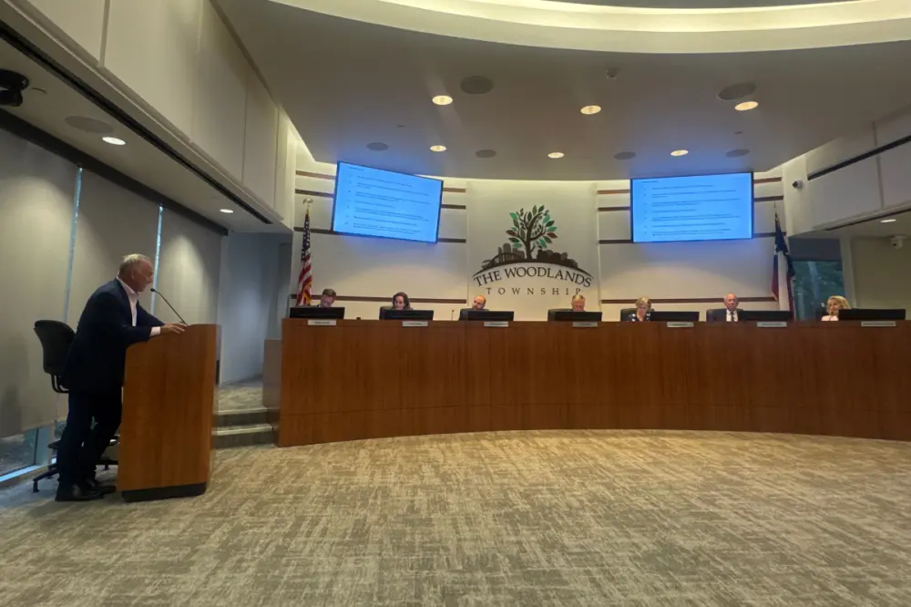
What they’re saying