
The two biggest changes include the fact the the Texas General Land Office and Army Corps of Engineers—the two organizations involved with the Coastal Texas Study, a plan to reinforce the Bay Area against hurricanes—are no longer proposing to build the floodwalls and levees or what would have been the world’s largest navigable gate between the island and peninsula.
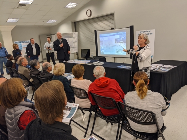
Both organizations shared an update on the years-long study during an open house event in Seabrook on Feb. 13.
Project manager Kelly Burks-Copes said the proposed floodwalls and levees have been replaced with beaches and dunes. Officials received over 13,000 public comments about the project last March, and the floodwalls and levees were “not well received.”
Instead, the organizations are proposing to build beaches that stretch 250 feet from the water to 14-foot-high manmade dunes. Both the beaches and the dunes, which would stretch down a total 35 miles of Galveston Island and the Bolivar Peninsula, would help prevent flooding during major storms, Burks-Copes said.
While the dunes are more environmentally friendly and aesthetically pleasing than concrete walls, they will not be as effective at holding back water. However, the trade-off is worth it considering public approval, Burks-Copes said.
Additionally, the organizations were considering building a massive set of moveable gates between Galveston Island and the Bolivar Peninsula. The gates would have remained open to allow ships to move from the Gulf of Mexico to Galveston Bay into the Houston Ship Channel but close during storms to hold back water.
“These are monster gates,” Burks-Copes said.
However, after meeting with officials from around the world who have built similar gates, the GLO and Corps decided instead to propose building a few islands and installing two sets of much smaller versions of the navigable gates. Additionally, a different type of gate that can lift out of the water to let smaller boats pass will be installed throughout the remainder of the gap between the island, Burks-Copes said.
The smaller navigable gates and lift gates are both cheaper and more resilient than the originally proposed large gates, she said.
Finally, the organizations are proposing building a ring around part of Galveston Island of levees and floodwalls on the back side toward the bay and repairs to the existing seawall that faces the gulf.
In the event of a hurricane, the gates would stop water from entering the bay, and that water would eventually flow back into the backside of Galveston Island. The protective ring would help reduce flooding in such an instance, Burks-Copes said.
The dunes, gates and ring are three lines of defense that would make Galveston Island and the entire Bay Area more resilient to major storms, said Tony Williams, director of planning coastal resources for GLO.
“They’re all designed to work together,” he said.
The 5 1/2-year study is one year from finishing. The organizations in August or September will hold another public comment period during which residents can share their concerns. In October, the organizations will hold more open houses about the plan and a new environmental impact study.
The organizations hope to present the plan to the Texas Legislature early next year and to Congress by May 2021. After, the plan will enter the design phase for 2-5 years, and then, it will take 5-10 years to construct if Congress awards the entirety of the up-to-$32 billion it will take to complete the project upfront, Burks-Copes said.
Officials estimate it will cost $100 million-$130 million annually to operate and maintain the dunes, beaches, gates, floodwalls and other components.