The overview
Federal Aviation Administration officials announced April 15 that ABIA, Indianapolis International Airport, Nashville International Airport and Dallas Love Field Airport will be the first to receive the Surface Awareness Initiative system.
Air traffic controllers can use the system to see aircraft and other vehicles in all areas of the airport. This will detail where vehicles and aircraft are located on a map, according to a news release.
The goal of the surveillance system is to “reduce the risk of runway incursions by improving air traffic controllers’ situational awareness,” according to the release.
The background
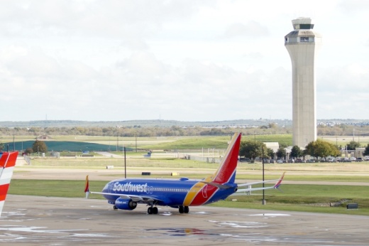
This announcement comes amid safety concerns about the air traffic control tower at ABIA after multiple near-misses in the past two years occurred.
In January, ABIA was the first airport to receive a tower simulator system—a visual database to simulate air traffic scenarios—to support air traffic controller training at the airport, according to FAA officials.
FAA officials are also working toward the following goals to enhance safety at airports nationwide, according to the release:
- Increasing air traffic controller hiring
- Bringing upgraded tower simulator systems to at least 95 airports by the end of 2025
- Holding runway safety meetings at airports nationwide
- Investing in runway lighting and surface improvements
“We’re committed to doing everything possible to make our runways even safer,” FAA Administrator Mike Whitaker said in a news release. “This cost-effective technology provides controllers with timely and accurate depictions of aircraft and vehicles on the entire airfield in all weather conditions.”
What’s next
FAA officials will roll out the system at the four airports by July, with other airports in line to receive the technology by the end of 2025.


