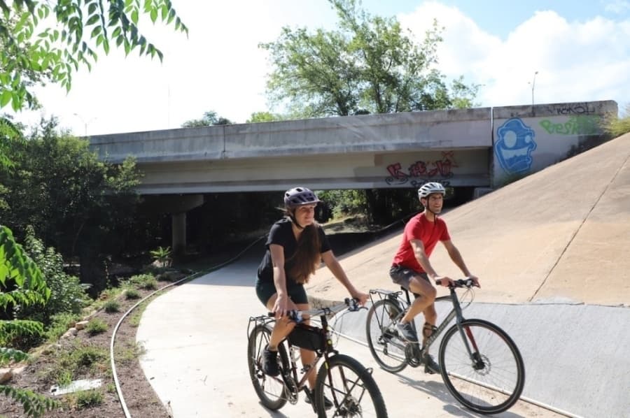



Confronted with continued population growth, San Marcos City Council adopted an updated transportation master plan Dec. 11 in an effort to ensure the city’s transportation system becomes safer, less congested and environmentally friendly as the city continues to grow. According to city officials, the plan was created with socioeconomic data from the City of San Marcos 2013 Comprehensive Plan “Vision San Marcos: A River Runs Through Us” in mind. This is the first time the transportation master plan has been updated since 2004. Mayor Jane Hughson worked on the 2004 Transportation Master Plan as the chair of the Transportation Advisory Board. “We reviewed that plan, and really it was trying to get them from one place to another quickly, but now it has really changed,” Hughson said. “The whole mood has changed—we’ve got more people on bikes, and we’ve got more people who are walking. So, there’s an extra concern about safety in this plan.” The transportation master plan is intended to guide the development of transportation infrastructure in San Marcos to create a compact, sustainable and multimodal transportation network, according to the plan. One of the plan’s guiding objectives is to create a transportation network that improves accessibility and mobility while minimizing congestion and pollution. Additionally, the plan focuses on increasing bicycle usage by expanding safe and convenient bicycle lanes and trails in addition to a well-connected pedestrian network with an emphasis on safety and accessibility. Under the new transportation master plan the city will work toward creating a transit network to serve downtown and other key intensity zones by 2035. This highlights an overarching goal built into the plan, which is to encourage a shift in mode from automobiles to active transportation such as walking and cycling.
Complete streets
Designed with a “complete street” approach, the new transportation master plan focuses on developing streets in a way that maximizes benefits not only for drivers but also for cyclists, pedestrians and the environment. The plan recommends that roadway pavement not be greater than 40 feet wide when possible in order to avoid difficult pedestrian crossing situations. It also recommends the planting of street trees when possible to provide shade and a separation between pedestrian and vehicular realms. As for environmental considerations the plan encourages the use of rain gardens, biofiltration swales and other low-impact drainage facilities within medians and landscaped areas to intercept and naturally treat urban runoff, according to the document. “I mean, we live here because it’s beautiful,” Hughson said. “And one of the things that make [San Marcos] beautiful is also what makes it environmentally sensitive. We’ve got to make sure that we don’t cause issues, and we certainly don’t want to destroy any of the beauty of San Marcos.” The plan states that according to San Marcos travel patterns, it is projected that in 2035, 14 percent of residents’ trips will be less than 1 mile and 80 percent of trips will be less than 5 miles. The plan recommends the city adopt a goal of converting 5 percent of trips of less than 1 mile to walking trips and 10 percent of trips of less than 5 miles to bicycle trips by 2035. In order to achieve that goal the plan states the city should design streets to enhance the safety of all modes within the transportation network and conduct surveys to monitor the different mode choices made by residents in different parts of the city every five years and note the progress toward reaching modal shift goals over time.