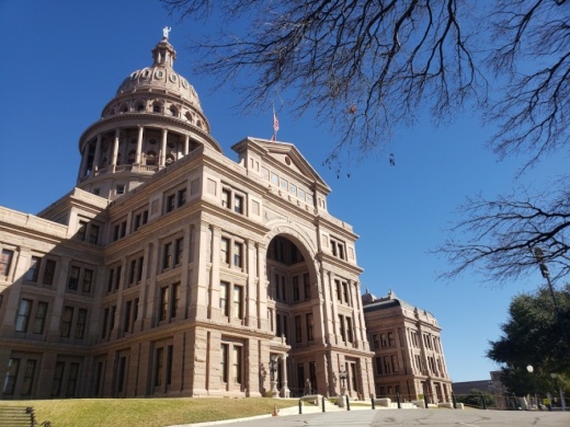
The once-in-a-decade process of drawing what are essentially political lines through communities across the United States is often fraught with partisan debates, as the party in power typically draws and adopts district maps to its political advantage. In Texas, Republicans are firmly in control of both the state Senate and House of Representatives for the 10th consecutive legislative session and will control the redistricting process for both state and federal seats.
The new maps will determine how voters are grouped and carry significant political implications for the next decade. In drawing the new map for Texas’ U.S. House of Representatives districts, law requires the Texas Legislature to ensure the districts are as equal in population as possible and are not drawn in a way that disenfranchises voters based on race. Since Texas is estimated to have added 4.1 million people since the last census in 2010, Texas’ number of U.S. House seats is expected to grow from 36 to 38 or 39.
The Texas House and Senate are fixed at 150 and 31 districts, respectively. The Legislature will need to ensure no boundaries are drawn according to race; however, there is more leniency in terms of population. Texas House and Senate districts are allowed to deviate up to 10% from the ideal district population—the population of a district if all were evenly divided.
The Texas Legislature convened Jan. 12. The original deadline for states to receive the 2020 census data was April 1; however, the pandemic is expected to cause delays. Redistricting maps are treated as any other legislation and must pass both houses of the Legislature by the time they adjourn May 31; however, since the Census Bureau could be delayed in delivering the data to states, the Texas Legislature may need to call a special session to deal with redistricting.
If the House and Senate cannot agree on the state-level maps by the session’s end, the Legislative Redistricting Board—composed of the governor, lieutenant governor, speaker of the house, attorney general, comptroller and the commissioner of the general land office—takes over. The board has 60 days from its convening to adopt its own maps.
If the Legislature cannot agree on congressional maps by the session’s end, the courts are responsible for adopting the maps.
The remapping of Austin City Council’s 10 districts tries to avoid politics by leaving the process up to an independent volunteer board. After starting with a pool of 60 volunteers selected by a panel of certified public accountants, the 14-member Independent Citizens Redistricting Commission responsible for drawing the maps will be filled out by the end of February.
The city charter regulates the drawing of City Council districts. They should each have nearly equal population; district boundaries must touch one another; boundaries should avoid dividing established neighborhoods or communities; and they should be as compact as possible.
City Auditor Corrie Stokes selected the first eight volunteers Jan. 23. Those eight members have until Feb. 28 to appoint their remaining six colleagues. The commission will have until Nov. 1 to receive community input, then draw and adopt the new City Council district map, which will first be in effect for the November 2022 City Council elections.
This story is part of Community Impact Newspaper's Annual Community Guide, which takes a look at the biggest development, education, health care, education, government and local business stories for the year ahead.


