
The draft will be submitted to the Texas Water Development Board, the agency responsible for compiling a statewide flood plan by 2024. The final plan for the San Jacinto region, also referred to as Region 6, is set to be approved by December.
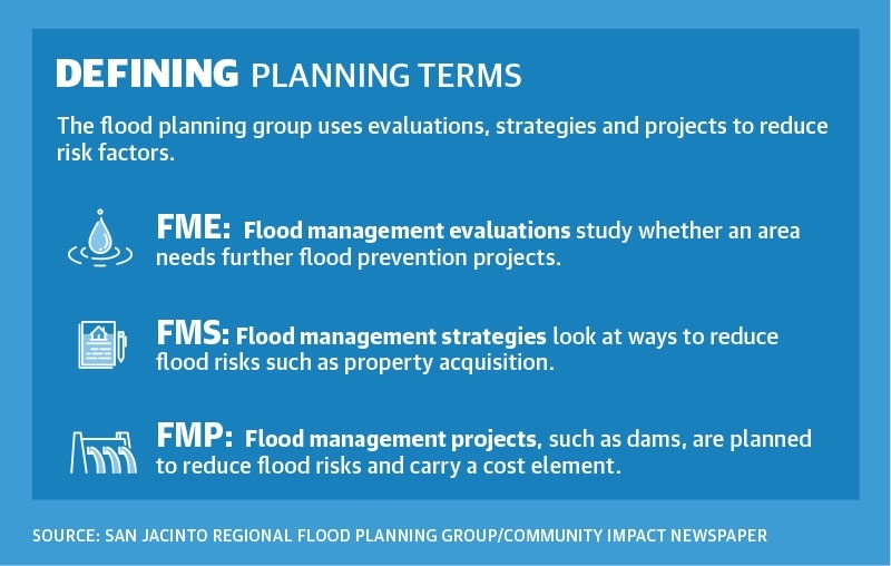
Specific recommendations for flood management strategies include 16 proposals for property acquisitions costing $1.1 billion and eight “critical maintenance” updates costing a total of $16 million for drainage systems.
The group does not have the authority to enact any of the recommendations it offers. According to the draft document, standards are developed for potential implementation by flood-related authorities, such as the Harris County Flood Control District. Montgomery County was listed as an entity along with The Woodlands Township, although the county does not have its own separate flood authority.
The San Jacinto River Authority, which manages surface water resources in several counties, including Montgomery County, is also named in several plans on the San Jacinto River’s West Fork. SJRA Flood Manager Matt Barrett, who was part of the flood planning group, said the authority reviewed and provided input during the process, such as the 16 large-scale plans that were part of the San Jacinto Regional Master Drainage Plan.
The flood planning group will meet in September to receive further public input and will receive a formal response from the TWDB in October. The final plan will be submitted to the TWDB in January, when the state Legislature will also reconvene.
The voting members of the flood planning group, which was established in October 2020, represent interests ranging from industries to municipalities as well as the public.
Risks in The Woodlands
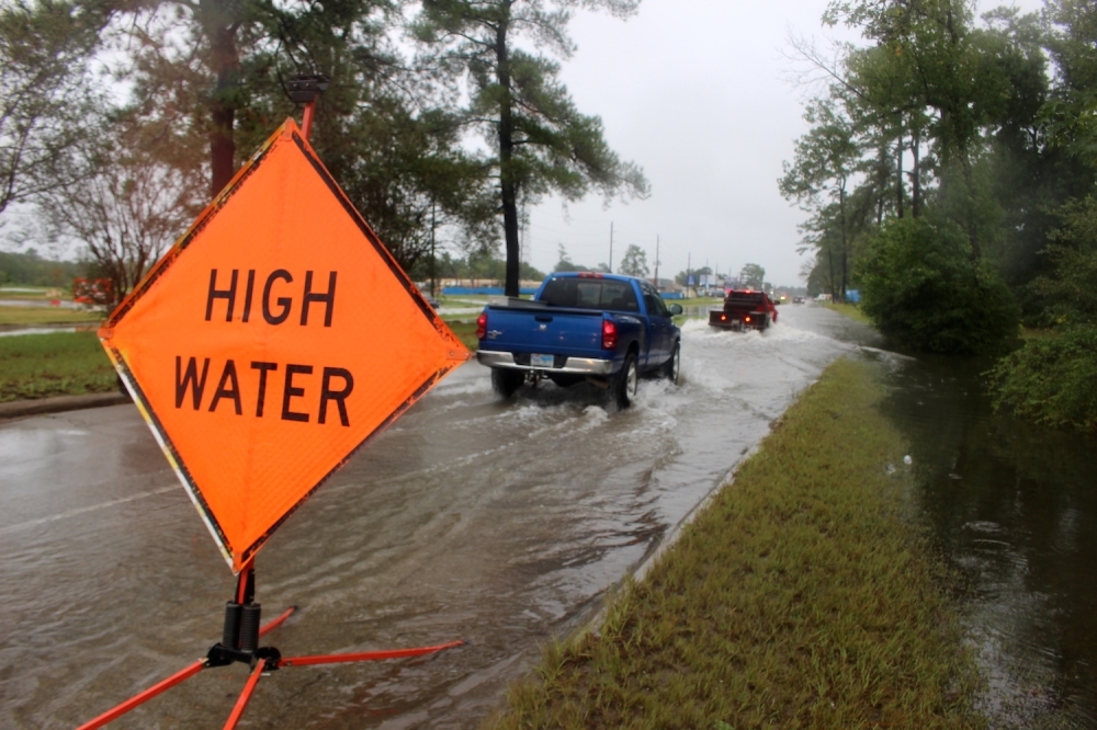
The Woodlands is rated as a “flood-prone area” by the Texas General Land Office. Seven The Woodlands-area gauges used to forecast flooding are included in the draft report’s account of existing flood infrastructure in the region.
The Woodlands Township and The Woodlands Water Agency, which manages 10 municipal utility districts in The Woodlands, are listed as two potential sponsors for flood mitigation projects along Lake Creek, which would involve dams on Walnut and Birch Creeks.
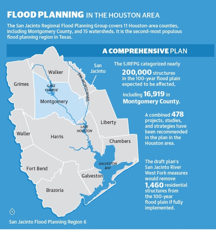
If all the recommendations from the plan’s San Jacinto River West Fork strategy are completed, the estimated benefits would include the removal of 28 miles of roadway and 1,460 residential structures from the 100-year flood plain. The plan categorizes 200,000 residential structures, including 16,919 in Montgomery County, as expected to be damaged from flooding.