Katy City Council is a step closer to determining the new boundaries for Ward A and Ward B after being federally mandated to redistrict the wards to comply with the “one man, one vote” rule as required by amendments 14 and 15 of the U.S. Constitution and Section 2 of the Voting Rights Act, according to the city’s website.
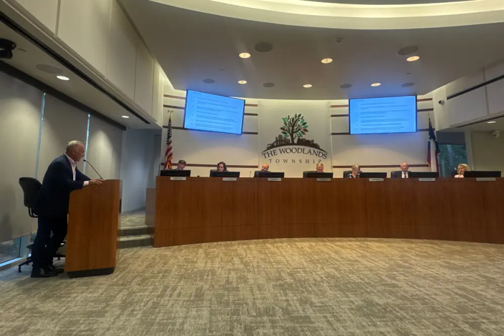
Gunnar Seaquist from the legal team of Bickerstaff Heath Delgado Acosta LLP presented a potential remapping of the wards to the council at an April 11 meeting. This map will be proposed as the official plan and presented to the city’s residents for comment at a public hearing.
Redistricting of the wards is necessary for redrawing electoral district boundaries for voter representation, per the Texas Comptroller’s website.
Data from the 2020 census determined the total population of the city was 21,949 people. To comply with the one person, one vote rule, the population of Katy must be equally distributed in each council member district, or within a 10% deviation. So, the ideal size of each ward would be roughly 10,975 people, according to Seaquist.
Per 2020 census data, there were 10,139 people residing in Ward A–which is about 7.61% below the ideal, Seaquist said. Ward B had 11,810 people, which was about 7.61% above the ideal. This means there is an overall deviation of 15.23%, and the city will need to rebalance the wards.
Restructuring of the Wards and movement of certain portions of Katy’s population is bound by census blocks, which, according to Seaquist, are the geographic measurements the census uses to calculate population and demographic numbers.
“If we were to break those blocks up, we wouldn't know where the people that the census tells us are in that block [are] distributed or how they're distributed demographically,” Seaquist said. “And so, in a city like Katy that is smaller, sometimes those blocks are not drawn as advantageously as we might like to be able to move specific, isolated and targeted pockets of population, but we will see how that works.”
In the first map of suggested changes, about 400 people were moved from Ward B to Ward A. The East Avenue boundary of Ward A is pushed to Drexel Drive, splitting the western portion of the street into Ward A and leaving the east side in Ward B. Portions of Mockingbird Lane and Fifth Street would also become part of Ward B in this example. This would reduce the total deviation to 7.3%, said Seaquist.
“Again, [this is] not the only way [redistricting the wards] can be done,” Seaquist said. “More or potentially fewer [residents] can be moved, but we just wanted to show you one way to do it, and we can certainly take any input and make any changes that you all would like to see.”
Council Member Janet Corte, who—along with Council Member Dan Smith—is assigned to Ward A, did not like the idea of splitting the Mockingbird Lane neighborhood. Corte said residents in this neighborhood have been part of Ward A for a long time, and it might create confusion. She asked Seaquist about this proposed change.
“One of your own rules was to keep neighborhoods together,” Corte said. “So now what you have done is you have taken apart one neighborhood; you have taken pieces of two neighborhoods and you put them together.”
Seaquist explained then that those “rules” were just best practices, and that sometimes neighborhoods have to be split to keep the census blocks together.
“The reason for that is—if I split that census block the way that the current line does—we wouldn't actually know whether [the city was] in balance or not because we wouldn't know what the population is in that area,” Seaquist said.
Other proposals were presented, but council members feared that these may affect too many people in Katy. Smith suggested using the first illustrative map for this reason and also referenced the continued population growth of the city, and the council agreed.
I think our goal should be to impact the fewest number of people this time, and then in 10 years, a different council than us is going to have a lot more flexibility to do something different,” Smith said. “At this point, our hands are really tied by new growth that [has yet to be shown in] the census blocks.”
The City Council will present this map to collect input from residents at a public hearing on Monday, May 23, at 6:30 p.m. Per Resolution No. 1294—which was adopted to provide guidelines for public input—any comments on the redistricting map must be submitted in writing to the city’s secretary by the close of the public hearing, even if the comments were made verbally.