The city of Fulshear has launched a new interactive e-scooter safety map following the October passage of new regulations to address the city’s growing number of scooter and sidewalk-related accidents, city officials announced in a Feb. 6 Facebook post.
Created by the city's Youth Advisory Committee in partnership with the communications and geographic information system teams, the map explains local and state e-scooter regulations and highlights roadways in Fulshear where usage is permitted.
Zooming in
The map—which is split up into four sections—helps differentiate paths around the city into scooter classifications, including:
- Green: clearly marked sidewalks and no cars
- Yellow: road with a speed limit of 35 mph or less, and/or a sidewalk
- Red: roads with a speed limit higher than 35 mph with sidewalks where e-scooters can be used
- Black: roads with a speed limit higher than 35 mph with no available sidewalk
Remember this?
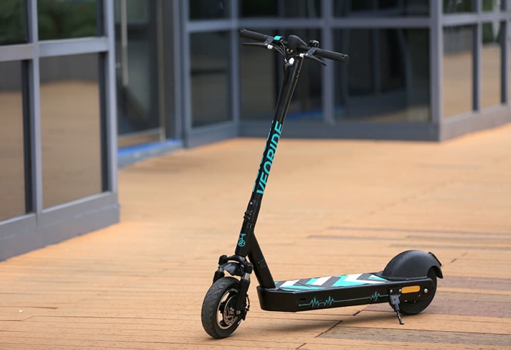
The ordinance prohibits residents from using several motorized or nonmotorized devices on roadways—unless sidewalks are not present—including roller skates or any motorized or nonmotorized hoverboards, scooters, coasters, skateboards and toy vehicles.
The law also applies to motor-assisted scooters, electric personal assistive mobility devices, bicycles and electric bicycles, department officials said.
Going forward
City officials said the map is "a work in progress" with prioritization on school zones and routes students frequent, per the post. Additional areas will be added over time.