Harris County residents can now see preliminary Federal Emergency Management Agency map data through a new interactive dashboard from FEMA and the Harris County Flood Control District in the first countywide update since 2007.
The big picture
As previously reported by Community Impact, the HCFCD and FEMA originally had planned a map update release in 2022, but the release was delayed repeatedly.
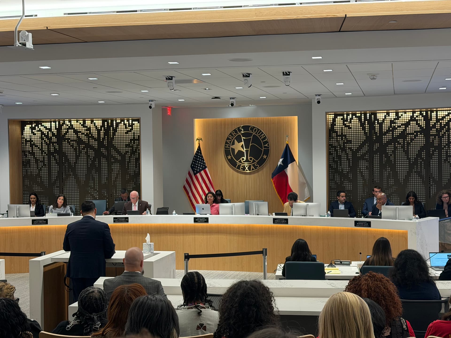
“In a county as large and complex as Harris County, it takes many different individuals to help move an effort like this forward,” HCFCD Executive Director Tina Petersen said during the Feb. 12 Harris County Commissioners Court meeting.
HCFCD spokesperson Emily Woodell confirmed the county’s 34 floodplain administrators received preliminary data and maps from FEMA in the first week of February. As previously reported by Community Impact, the Modeling, Assessment and Awareness Project (MAAPNext) kicked off in 2019 and aims to supplement FEMA maps, while incorporating the data in an interactive, user-friendly dashboard.
“It is important to emphasize that, at this stage, these are draft maps from FEMA intended for technical review by floodplain administrators,” Woodell said. “They are not final, not regulatory. ... Nothing changes right now related to flood insurance requirements or development regulations.”
Various portions of the county have received spot updates following major developments and infrastructure improvements in 2017 and 2019, according to FEMA documents.
The local impact
Petersen further emphasized the preliminary nature of the data, and confirmed that it would not affect current flood insurance rates or requirements.
“These maps are draft, there will be years of opportunity to review these maps and engage with the process before they are final,” Petersen said. “We have a lot more work to do, but it is really fulfilling to see that the FEMA maps are showing the progress that we all know is happening.”
Precinct 3 Commissioner Tom Ramsey said his major concern was that residents who are purchasing homes or property without the updated floodplain maps could be purchasing homes within a floodplain.
“People are going to be buying homes tomorrow, and they won't know anything about these maps,” Ramsey said. “I don't know if there's anything we can do to facilitate at least making the homeowner that's about to buy something—banking his life or her life investment in a piece of property—[aware] that we've got more information about it.”
Petersen said the MAAPNext dashboard has been updated with the preliminary data received from FEMA to help individuals understand potential floodplain impacts. However, she cautioned against using the data formally as it is set to change.
The timeline
Petersen said the floodplain maps will have to go through a number of stages before they become official, which is also when any changes to insurance rates and requirements would be considered.
The estimated timeline provided to commissioners highlighted the maps may not become final until 2028.
2026
- Feb. 2: draft data released from FEMA to floodplain administrators
- May: FEMA's public data release; community outreach begins
- May-January 2027: community outreach, town halls
2027
- February-May: formal FEMA appeals and comment period
- May-May 2028: map and modeling revisions based on community feedback
2028
- May-June: final letters of map approvals sent to elected officials, floodplain administrators
- November: official map approval
Petersen said a series of in-person meetings and webinars will be held to ensure the public has time to submit feedback on the new maps. However, the dates have not been finalized as of press time.