Groundwater regulations in Montgomery County continue to draw discussion as key players prepare to adopt final management goals.
Lone Star Groundwater Conservation District, the entity that regulates groundwater in Montgomery County, has asked county commissioners to support its management goal for the Gulf Coast Aquifer System.
LSGCD’s proposed management goal does not include subsidence, or the gradual sinking of the earth that can be due to excessive groundwater withdrawals, as a limiting factor, despite many residents and stakeholders request that this be included.
Background
LSGCD is part of Groundwater Management Area 14, which is composed of several groundwater conservation districts. GMA 14 is tasked with establishing a long-term goal for the aquifers, known as desired future conditions, or DFC. The DFC indirectly establishes how much water groundwater conservation districts in the area are allowed to pump.
On April 9, GMA 14 adopted a proposed DFC, which will be voted on in January. The proposed DFC statement restricts districts within GMA 14 to no less than 70% median available drawdown remaining in the aquifer system in 2080 and no more than 1 additional foot of average subsidence between 2009 and 2080.
Although LSCGD General Manager Samantha Reiter, who was representing LSCGD in the GMA 14 meeting, was opposed to this proposed DFC and offered various other proposed DFCs, her motions were not supported by other GMA 14 members. GMA 14 did eventually unanimously vote to adopt the DFC, except without the language of a formal resolution.
The language of the DFC can still be changed before it is formally adopted, and the public comment period ends July 19.
Commissioners court
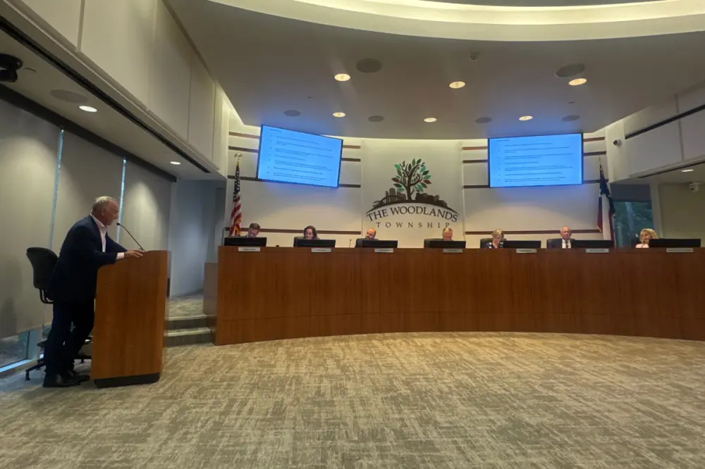
At the May 25 commissioners court meeting, LSGCD President Harry Hardman asked commissioners to adopt a resolution supporting a DFC with the 70% drawdown metric but without the subsidence metric.
Hardman said the subsidence factor is not applicable to Montgomery County, as model runs have shown that the county’s limiting factor is the 70% available drawdown. This means that models simulating various groundwater use amounts show that the aquifer hits 30% drawdown before it reaches 1 foot of subsidence.
“The [70% drawdown] metric is a confirmed limiting factor for the county, which means once we approach that 30% drawdown, the district needs to evaluate whether cutbacks are appropriate,” he said.
He also said the county has limited subsidence monitoring equipment, and most of the equipment is located in the south of the county, which is experiencing more subsidence because of pumping from Harris County.
“Our metric would be artificially skewed higher and artificially restrict us in the future,” he said. “Think of an aquifer as a bathtub with a piece of string sitting over the center of it representing a county line. If you start to remove water from one side, water on the other side goes down because aquifers don’t know or respect county lines.”
Hardman also emphasized LSCGD's stance to protect private property rights.
“This arbitrary [subsidence] metric restricts residents’ choice on how and when to use their water,” he said. “[Our proposed DFC] protects the freedom of Montgomery County residents to choose how and when they use their groundwater rights rather than having it dictated it to them.”
However, many residents and stakeholders, particularly in The Woodlands, have pleaded with LSGCD to keep a subsidence metric in its DFC. Residents have cited property damage from shifting ground levels, and data from Harris-Galveston Subsidence District shows subsidence is occurring across the county at various rates.
Montgomery County commissioners did not comment at the May 25 meeting whether they would consider a resolution.