
Federal, county and city leaders gathered at Brays Bayou Park May 26 to celebrate the completion of Project Brays, a plan to reduce flooding along Brays Bayou that has been underway in some form for the past 35 years.
In the mid-1980s, the Army Corps of Engineers in conjunction with the Harris County Flood Control District conducted studies of the bayou following record flooding.
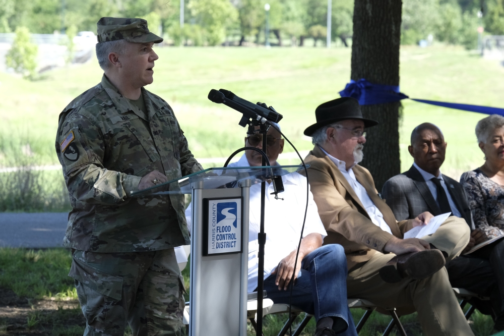
"I've delivered construction projects in six different countries and 10 different states, and there's no more sophisticated partner for the Army Corp of Engineers than the Harris County Flood Control District," Col. Timothy Vail said at the ribbon-cutting.
Construction on Project Brays began in 1993 at what is now Arthur Storey Park. Although officials gathered to celebrate the completion of the channel improvements, some bridges work at Chimney Rock Road and South Rice Avenue is still ongoing and is expected to wrap up this summer.
Improvements have been made to 32 bridges and four water detention basins, which can hold 3.5 billion gallons of stormwater, Houston Mayor Sylvester Turner said at the May 26 announcement.
The project cost $480 million with one half of the project paid for through federal grants and the other funded by the county.
"Brays Bayou crosses many jurisdictions—Bellaire, West University Place, Southside Place, Missouri City and the Texas Medical Center—and we are grateful for everyone's commitment to moving this project forward," HCFCD Executive Director Tina Peterson said at the ribbon-cutting.