
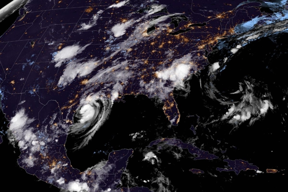
In the news release, H-GAC officials said the 2025 hurricane season, which started June 1, is forecasted to be more active than usual and urged residents in the Houston-Galveston region to get and stay prepared.
What you need to know
According to the release, hurricane forecasts released by the National Oceanic and Atmospheric Administration predicted a higher-than-average number of named storms and major hurricanes due to warm sea surface temperatures and other climate indicators.
“This season is expected to bring more storms with greater intensity, so preparation is more important than ever,” Francis Rodriguez, principal program coordinator of Incident Management at H-GAC, said via news release. “The single most important thing you can do today is know your evacuation zone and route.”
Mapping it out
H-GAC officials said the evacuation routes are supported by the Texas Department of Public Safety with first responders, essential supplies as well as access to gas and food along the way.
“The painful lessons of past storms like Hurricane Rita in 2005 highlight why planning ahead, acting early, and using designated routes are vital for safety,” Rodriguez added in the release.
See the 2025 evacuation zone map below.
See the 2025 evacuation route map below.
One more thing
H-GAC officials recommended that families create emergency kits, gather important documents and make a communication plan.