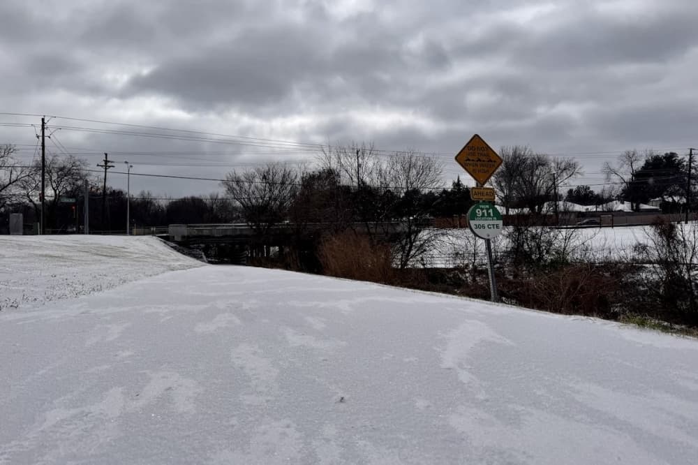
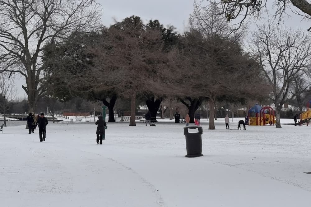
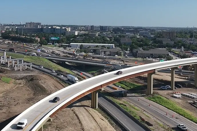
The Dallas-Fort Worth area can expect roads to stay icy until Tuesday afternoon, according to the National Weather Service.
While roads may have melted throughout the day Monday with sunny skies, the DFW metroplex won't see "long-lasting improvement" until Tuesday, when highs are expected to be in the upper 30s and 40s, NWS meteorologist Brennen Darrah said. Some ice could linger, though, on backroads, which may not see improvement until Wednesday into Thursday, he said.
Latest update
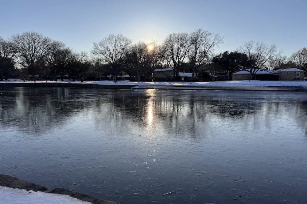
A freezing fog is expected across North Texas, which could make ice accumulate on surfaces that are below freezing.
The freezing fog is expected for portions of DFW Monday night into Tuesday morning and again Tuesday night into Wednesday morning, per the NWS. Residents are encouraged to use low-beam headlights when driving, to slow down and leave distance between other vehicles, and to allot extra drive time.
"Most of the time, it's not an issue, but there is a potential, especially with dense fog, to have light ice develop on any exposed surfaces," Darrah said.
Looking ahead
Another cold front is expected to move into the region late Thursday into Friday. Temperatures this weekend are expected to range from 33-46 degrees, with lows forecast to be 16-20 degrees. Currently, precipitation is not expected for North Texas, Darrah said.