
A strong Arctic cold front will be moving into the metroplex early Friday with cold rain transitioning into a wintry mix in the early afternoon, National Weather Service meteorologist Allison Prater said.
What you need to know
Widespread wintry precipitation, with the majority being sleet, is expected throughout Saturday and potentially into Sunday morning.
"Dangerously cold temperatures" are forecasted to begin overnight Friday into Saturday, with temperatures anticipated to drop as low as 11 or 12 degrees Saturday night into Sunday, Prater said. Along with the cold temperatures, wind chills overnight Saturday into Sunday could sit between 0 and -10 degrees.
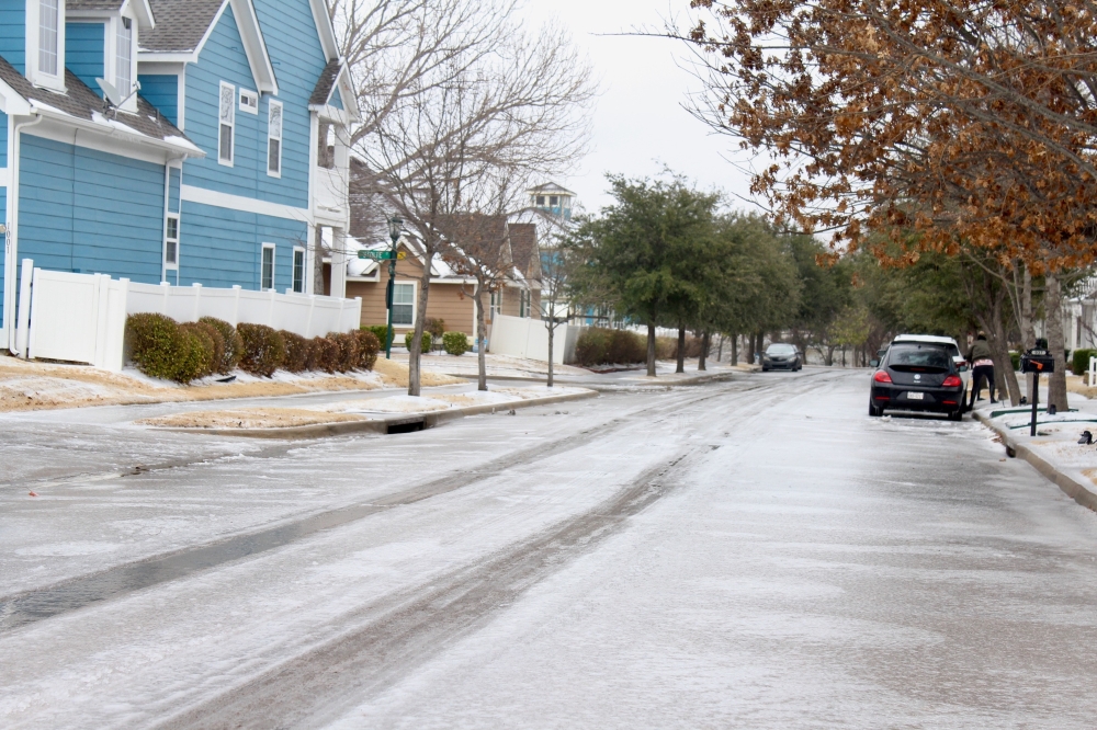
Precipitation is expected to stop by Sunday morning but melting may not improve until Tuesday onward. Road conditions across the Dallas-Fort Worth area will depend on how much ice and snow melt during the day, since anything that melts is likely to refreeze overnight, Prater said.
"Any impacts to travel and infrastructure that we see from the wintry precipitation ... are going to linger into early next week because we won't get above freezing," Prater said.
Staying prepared
With the cold weather coming, the National Weather Service recommends residents:
- Protect outdoor pipes
- Let indoor faucets drip
- Bring pets inside
- Check on neighbors