
“[The region is] going to stay below freezing through about midday, mid- to late morning on Wednesday,” Gordon said.
Some of the snow on the roads could melt a little but will refreeze again overnight, she said.
“Anything that melts [Jan. 15] either from heavy travels, from sunshine, and any snow that gets compacted is going to create pretty icy conditions for travel tomorrow morning,” Gordon said. “We’re asking people to take extra caution for the morning commute hours.”
In a nutshell
The agency is still gathering information on the effects weather has had on the region the past few days, Gordon said.
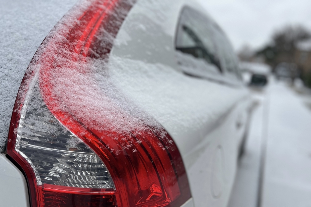
Preliminary weather reports show the entire Dallas-Fort Worth area was hit with around 1.5 inches of snow, but the amount varied city to city. For example, the Frisco and Plano communities both saw a little under an inch of snow, Gordon said.
“We did get some localized areas that got heavier snow amounts, from 1 to about 2 inches, and so those areas will probably see more widespread hazardous travel,” Gordon said. “It's not going to be the same across all of DFW.”
Looking ahead
Temperatures are expected to fall back to freezing each night through the weekend after things warm up to the mid-40s on Wednesday, Gordon said.
“We're not expecting any impacts like [the last few days] past Wednesday because we will rise above freezing each day,” Gordon said. “We're not looking at an extended-duration freeze. We are going to get a little bit colder on Friday—the highs will only be in the upper 30—but Thursday we're going to get into the low 50s.”
There is no precipitation expected when the temperature drops later this week, Gordon said.
“The cold front won't be as cold as what we have seen in the past few days,” she said.