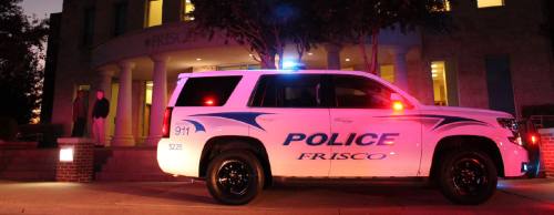
A new software system implemented in the city’s police and fire departments is intended to reduce response times of first responders by 15-30 percent.
The Closest To dispatching system automatically chooses the closest police, fire or EMS responder available for high-priority incidents.
The system integrates mobile computers, a geographic information system and GPS to determine who is closest to the incident. The Frisco police and fire departments along with the city’s traffic engineering and information technology departments worked with Integrated Computer Systems Inc. to develop the system.
The system was funded through a $330,000 grant from the North Central Texas Council of Governments. Frisco City Council approved the agreement last June, and the system went live in November.
The reimbursement from NCTCOG has been requested and is in progress.
According to the Frisco Police Department, as the city continues to grow it will become more critical to improve response times by deploying the closest or most appropriate units to the highest-priority calls for service. This includes those that are in imminent threat of life or public safety.
FPD spokesperson Officer Radd Rotello said the system has helped officers and the fire department respond to high-priority calls faster and in a safer manner.
“In an emergency situation you have all types of first responders showing up, so there can be a lot of confusion especially if you don’t know where the call is coming from,” Rotello said. “The system takes a lot of that out, and it helps us provide better service to the city.”
The way the system works is that it allows dispatchers to move high-priority calls in the mapping software to a more accurate location for the caller and routes the closest responders to that location. As soon as officers arrive at the scene, they can pinpoint the exact location of the incident and make any changes necessary to system for other first responders on their way.
Another unique benefit of the system is that any traffic barriers along the routes in the system can be pinpointed by city staff. What this means is that any street barriers will be made available in the mapping software so the responders can determine the fastest route to the scene. The system also suggests a route that is based on the shortest travel time.