
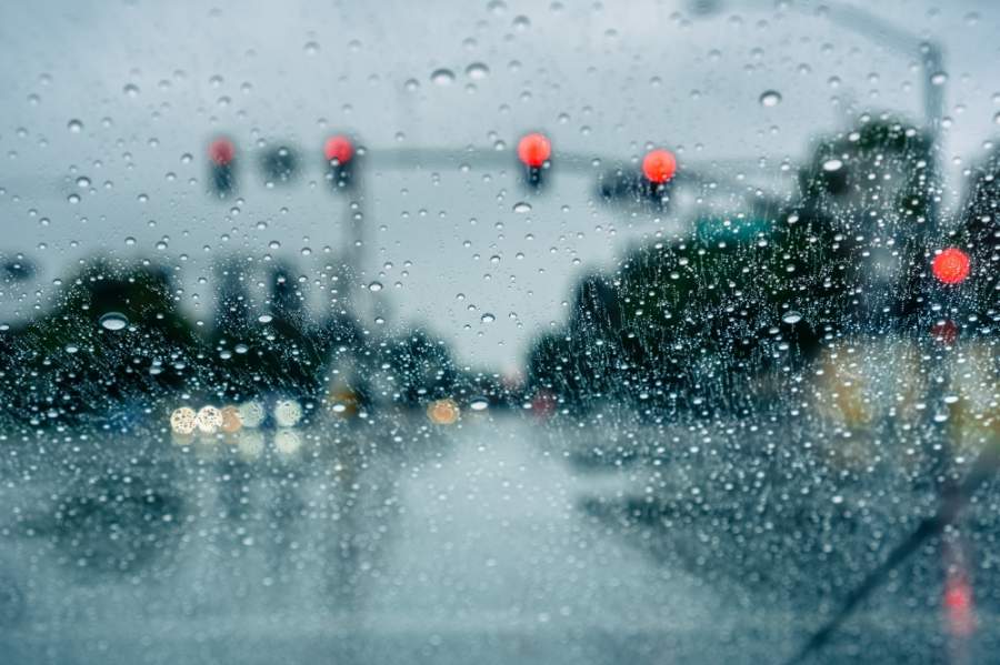
According to updates by the National Weather Services’ Austin/San Antonio office, there is an enhanced risk of severe storms this evening. Along the I-35 corridor, storms could arrive by 11 p.m. and impact the Central Texas area until 7 a.m. May 16. Storms could bring hail, damaging winds and heavy rain or flooding, according to the forecast.
According to a statement by Gov. Greg Abbott’s office, state resources are currently on standby in anticipation of severe weather in the state. Tornadoes could form in the eastern part of Texas, the statement said.8:46a 5/15/2020 - The Storm Prediction Center has upgraded most of our area to an Enhanced Risk of Severe Storms for this evening into Saturday AM. The reason for the upgrade is an increasing damaging wind threat up to 75 mph. Large hail is also possible out west. pic.twitter.com/lvoNglqvhD
— NWS Austin/San Antonio (@NWSSanAntonio) May 15, 2020
"As severe weather approaches the state of Texas, resources have been placed on standby to assist local officials in the event they are needed," Abbott said in the statement. "All residents should heed warnings from local officials and pay attention to weather alerts. I ask that all Texans keep those in the storm's path and all of Texas' first responders in their prayers as they deal with the effects of this storm."
Local agencies are also warning residents about the potential weather threat. Austin Homeland Security and Emergency Management told residents there could be 2-3 inches of rain across the area, with a possibility of up to 5 inches of rain in certain areas. With rain expected overnight, Austin advised residents who are planing to be on the road to check for possible flooding or road closures at low water crossings.
The forecast follows strong storms May 12 that brought at least 1 inch of rain in most areas of Central Texas and 3-4 inches in concentrated areas south and east of Austin, according to rainfall data from the Lower Colorado River Authority. Buda and Kyle have been hit especially hard, receiving as much as 5 inches of rain already this week, LCRA data shows.With the heaviest rainfall happening overnight in #Austin, please be careful if you are out on the roads. Check https://t.co/8wme9gf0Au for any road closures that may impact your area. https://t.co/eJqBqEL5Se
— Austin Emergency Management (@AustinHSEM) May 15, 2020