
What’s happening?
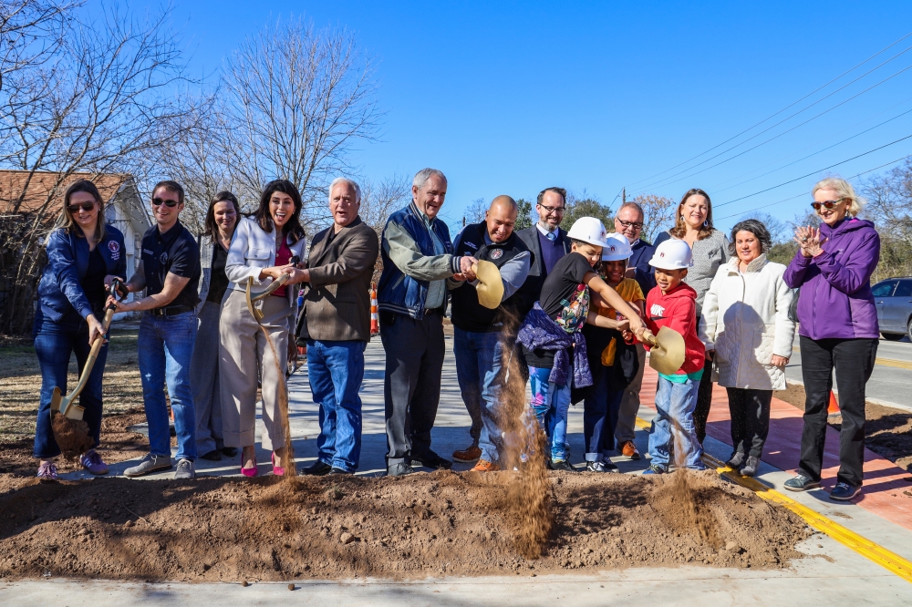
City of Austin officials broke ground Jan. 31 on the first phase of the Bergstrom Spur Trail, transforming the abandoned Union Pacific Railroad tracks into an east-west shared-use path.
The trail is expected to be 6.5 miles long in total and connect Vinson Drive in South Austin to East Riverside Drive and US 183 in southeast Austin.
The route will serve to connect neighborhoods, parks and destinations, according to city documents, as many of the properties along the proposed trail are currently largely zoned for commercial, office and industrial use.
The trail project has been included in several regional mobility plans dating back to 2014, and has been recognized by the Capital Area Metropolitan Planning Organization, or CAMPO, as an “important link for connecting regional pedestrian, bicycle and transit networks.”
The Bergstrom Spur corridor study outlined 43 Capital Metro bus stops within a quarter-mile of the proposed trail, including four MetroRapid routes as well as the CapMetro South Congress Transit Center—which features a park-and-ride facility.
The trail is intended to provide an alternative route to walk or bike to the airport.
In partnership with CAMPO, the city officially began planning the project in late 2021. Construction is divided into three phases, starting near St. Elmo Elementary School, with full completion expected by late 2027.
Funding for the $29 million project comes from previously voter-approved 2018 and 2020 mobility bonds as well as parkland dedication fees paid by developers to the city.
Some context
The rail line, owned and operated by the Union Pacific Railroad, was widely used during World War II, transporting pilots, combat troops and supplies to the former Bergstrom Air Force Base—now the location of the Austin-Bergstrom International Airport.