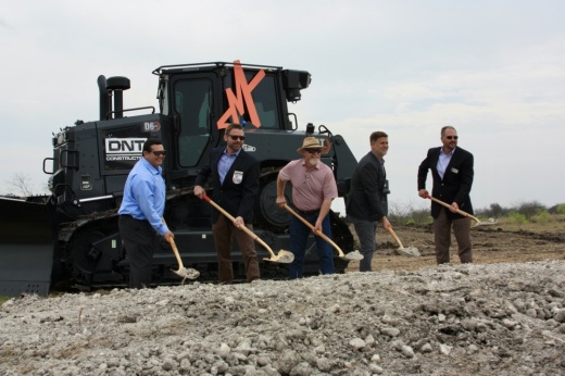
The development is slated to bring 6,000 housing units, more than 330 acres of public parks, four schools and more to the New Braunfels area over the next 15 years.
Mayfair is located in the extraterritorial jurisdiction, or ETJ, of New Braunfels on property that was previously owned by the Texas General Land Office. A study conducted by TXP Inc., an economic analysis and public policy consulting firm, estimated that the development will create 2,000 permanent jobs.
“We hope our public spaces in our districts and our jobs and the commercial areas [and] 100 acres of restaurants and retail benefit and accentuate what's already great for New Braunfels,” SouthStar CEO Thad Rutherford said during the ceremony.
On March 28, the New Braunfels City Council approved the Sector 1 Plan for the development during a regular council meeting.
The first sector encompasses about 387 acres, and the plan includes the construction of approximately 1,532 housing units, a school site, a recreation center and 99 acres of parkland, according to SouthStar.
Several regional and national builders have been contracted so far to construct 750 single-family homes of varying size, according to SouthStar.
The plan also includes nature trails and roadways, and identifies two proposed water quality and stormwater detention facilities.
On June 28, 2021, the city of New Braunfels approved the Mayfair Development Agreement with SouthStar, giving the city oversight in the planning, permitting and construction of the development. The agreement was executed on Feb. 9 this year.
A Water Improvement District was also approved in June, which allows SouthStar to use tax revenue generated in the district to reimburse part of their expenses associated with constructing necessary infrastructure.
The city and developer also adopted the Master Framework Plan, which established development outlines for the community, including land use, roadways, project boundaries and more.


