
Across the state, demand for electricity is at an all-time high while at the same time electric utilities are struggling to keep enough generators operating, according to ERCOT, which manages the electricity grid for Texas.
ERCOT has directed all utilities across the state to drop the power load through maintained controlled outages; however, poor grid conditions have continued to prevent operators from rotating, or rolling, the entirety of these outages, leading to extended periods without power for many of our customers, according to Oncor, a utility provider to some Georgetown residents. Due to the severity of weather and the condition of the statewide grid, rotating outages are lasting longer than the expected hour. Community Impact Newspaper has heard from Georgetown residents of outages lasting 12 hours and even longer in some places.
Some estimates for stabilization is in the afternoon of Feb. 16, but that could be delayed, officials warn.
To help conserve energy, the city, state and electric officials ask residents to do the following:
- turn down thermostats to 68 degrees;
- turning off and unplug nonessential lights and appliances;
- do not use large appliances;
- close shades and blinds; and
- close off doors to, and air vents in, unused rooms.
If you are serviced by Oncor or Pedernales Electric Cooperative, you should check their power outage maps and reach out to those providers. Outages map for Oncor can be found here, and outages map for the PEC can be found here.
While some Central Texas areas are experiencing water outages, Georgetown residents who use city water were not as of 11 a.m. on Feb. 16, according to the city’s water outage viewer.
Officials ask that if you are experiencing a water outage and it is not shown on the map, viewed here, to contact 512-930-3640 and report it.
Below is a look at power outages across Williamson County. City facilities closed
While essential city operations continue through the winter storm, city facilities remain closed to the public Feb. 16-17.
Road dangers
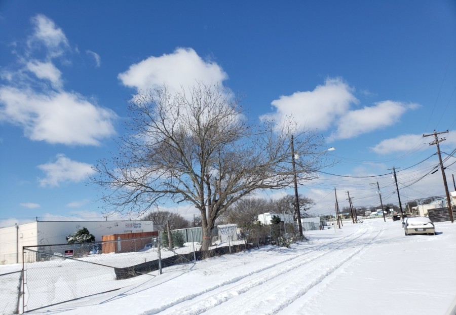
The National Weather Service discourages travel in the Hill Country and northern I-35 corridor as many roadways will remain treacherous and snow and ice freeze.
According to the NWS, freezing rain and sleet and snow are likely in portions of the I-35 corridor through Feb. 17.
A 5:35 a.m. Feb. 16 update by the NWS said dangerous wind chills in the morning will be followed by two rounds of winter precipitation beginning at night on Feb. 16 through early Feb. 18.
NWS added individuals should remain off the road as frigid cold has hardened any ice that became partially melted during the daytime and resulted numerous areas of black ice on roadway and concrete surfaces.