
Senior Director of Infrastructure Bob Daigh said errors in the original mapping plan led to increased funding needs. This way, officials can accurately include recent county development in the final study. The mapping study is now $3.67 million over its original budget, according to information shared by county officials.
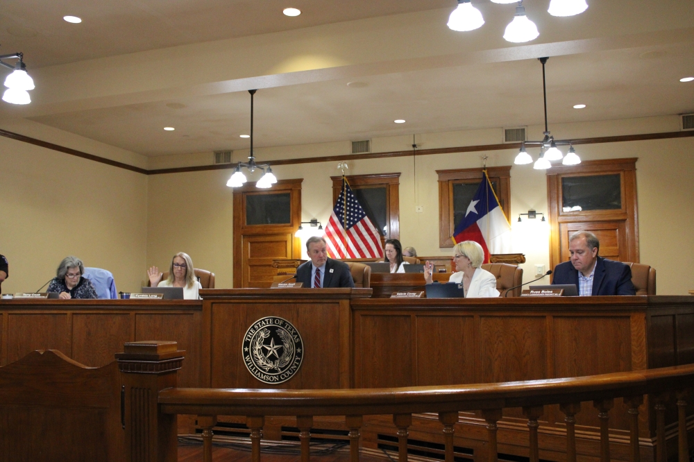
“I'm not sure who messed up, but the scope originally was to cover the whole county, so the fact that we're having to add pockets that we failed to include originally in the original scope is problematic,” Precinct 3 Commissioner Valerie Covey said June 10.
Covey and Precinct 2 Commissioner Cynthia Long voted against increasing the study’s funding cap by $1.6 million, while Williamson County Judge Steven Snell, Precinct 1 Commissioner Terry Cook and Precinct 4 Commissioner Russ Boles voted for the increase.
How we got here
Daigh said completing Atlas 14 will allow Williamson County to have a uniform map for floodplains, or geographic areas subject to flooding and land adjacent to a waterway necessary to contain a flood, Community Impact previously reported. After a 2024 Light Detection and Ranging survey—a method that uses light to measure Earth’s distances—officials discovered the geographic information provided when the mapping study first began did not capture the county’s growth in recent years, a county official said in an email to Community Impact.
Additionally, a Texas Water Development Board grant was expected to split a $9.3 million mapping cost with Williamson County 50-50, the county official said. While the total contracted budget for the study was originally almost $10 million, the project has contracted out about $13.7 million with three separate engineering firms—Halff Associates, AECOM Technical Services and Doucet & Associates—after commissioners’ June 10 vote.
What they’re saying
Covey said the LiDAR study affected the cost, and asked Daigh for further clarification on why the funding increases are needed.
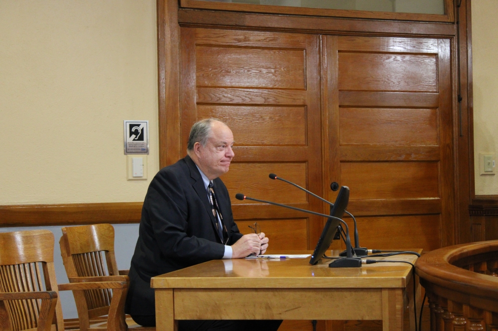
Daigh said there were missed estimates in the original work effort, which were used in the original TWDB grant; miscommunications between Daigh’s staff and consultants regarding the work; and timing challenges.
“We strongly believe this is a good item, and there is blame to be shared by all,” Daigh said.
What to expect
The Atlas 14 study contracted with the TWDB will end Dec. 10, and the study’s LiDAR update will also end in December, the county official said in an email.