
US 183 downtown exits reopen
According to a release from the Central Texas Regional Mobility Authority, northbound exits from US 183 to downtown Austin—Airport Boulevard, Fifth Street, Seventh Street and Cesar Chavez Street—will be re-established as soon as Sept. 13.
The exits have been closed as part of construction in the area of the bridge over the Colorado River on US 183. The work is part of a $743 million project that began in May 2016 on US 183 between Toll 290 and SH 71 to add three toll lanes in each direction.
The northern section of the project from 290 Toll to Techni Center Drive opened in 2019. The remaining portion is set to open by early 2021.
The exits will reopen along with the new northbound US 183 general-purpose lane bridge over the Colorado River. Previously, a temporary detour and turnaround at Smith Road had been in place. At the same time, northbound traffic will be detoured on the 183 Toll Road between Thompson Lane and Bolm Road as construction occurs in the area.
Protected bike lanes added on South Congress Avenue
The bike lanes located on South Congress Avenue between Wesson Road and Live Oak Street in South Austin now have protection from traffic.
This summer, the Austin Transportation Department added physical barriers to separate bicyclists from vehicles along the 2.4-mile stretch. According to a media release, this project is part of a larger effort around the city to add physical protections to painted bike lanes.
In 2019, the city began installing "No parking" signs in the bike lanes along South Congress after noticing more vehicles parked in the lanes. This project to add protection is separate from the one the transportation department took on earlier this summer, adding temporary bike lanes on Congress from the Capitol to Riverside Drive.
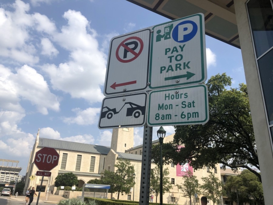
Austin drivers can use Google Maps to park
According to the city transportation department, a new feature allowing drivers in Austin to park through the Google Maps app on their iPhone or Android device was introduced Sept. 2 and "will become widely available in the coming weeks."
When using the Google Maps app to navigate, drivers will now also have the option to pay for parking through Google Pay once they arrive.
The transportation department changed its fee structure for on-street parking Sept. 1. Now, instead of receiving a windshield sticker when paying for parking, customers enter their license plate number to pay. Time limits for parking have been eliminated. Instead, there is now a tiered structure that increases the longer a driver spends in the spot.
Sidewalks in West Campus getting upgrades
Construction crews will be working in the West Campus area near Guadalupe Street in September to improve curb ramps, fill in gaps, and rehabilitate aging sidewalks.
The work is part of the Corridor Construction Program, funded in part by the $720 million 2016 bond, which includes improvements to nine roadways in Austin—including Guadalupe.
In 2019, crews completed one round of improvements in the West Campus area to Nueces, 24th, 25th and 26th streets. This round, in 2020, will include work on Nueces, 25th, 27th and Guadalupe streets.
According to a media release from the city, work could occur daily from 7 a.m. to 6 p.m., and intermittent travel lane closures will occur during nonpeak times.
Learn more about Pleasant Valley Road plans, 'wishbone' bridge in virtual open house
Residents interested in roadway changes coming to Pleasant Valley Road in East Austin can now find more on a city webpage after Austin opened a virtual open house Sept. 8.
The page features information on a potential new bridge over the Colorado River connecting the Ann and Roy Butler Hike and Bike Trail. In December, the city revealed a recommended "wishbone" design with three prongs connecting to shore.
Residents can also find information on proposed traffic safety improvements between Cesar Chavez Street and Oltorf Street, which Austin identified earlier in 2020 as a high-injury roadway with more than 350 residents seriously injured or killed in the last five years.
Safety improvements, including new turn lanes and physical barriers between northbound and southbound traffic, are detailed in the virtual open house. Construction of those changes is slated to begin by early 2021.
The city is also looking to improve safety on a more southern portion of Pleasant Valley Road from Oltorf Street to Slaughter Lane as part of its corridor plan. It released an updated mobility plan for that stretch of road in July.