The single dissenting vote was Toni Carter. Mayor Neal Linnartz was absent.
Why it matters
The DCC is a major waterway through New Braunfels and can also be a major source of flooding.
Remapping would update the Federal Emergency Management Agency, or FEMA, floodplain maps of the DCC and a portion of the Upper DCC.
Garry Ford, director of transportation and capital improvements, said floodplain maps are a collaboration with the community and FEMA and use computer modeling to analyze the stream.
"It needs to be updated periodically to maintain the accuracy of the floodplain. There's land cover changes, rainfall rates change and there's also topo[graphic] grading changes that aren't necessarily accounted for in older models," Ford said.
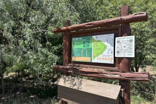
It would also help provide economic development opportunities with the DCC trail and adjacent creek area, according to agenda documents. Ford said there are people interested in developing adjacent to the creek.
"We really need to establish an updated floodplain boundary to make sure we're all working on the same page and protecting the community," he said.
The new route—which makes up 13 miles—would begin at the confluence of the DCC and the Guadalupe River and end at the Soil Conservation Service Site No. 2 Reservoir in Comal County, just outside of city limits. The DCC was last modeled and mapped in the city limits in 2003 and upstream of the city limits in 2005.
How we got here
The project expenditure was presented to the New Braunfels Economic Development Corporation, or NBEDC, on May 15. Following a July 17 public hearing, the NBEDC unanimously approved the item, according to agenda documents.
Quote of note
Although the remapping project began well ahead of the devastating floods seen in the Texas Hill Country over the summer, the tragedy highlights the importance of keeping floodplain maps up to date, Ford said in a news release.
“The new maps will help the city and FEMA update the floodplain using current data to identify flood risk, guide development and support flood preparedness and response," Ford said in the release.
Looking ahead
The remapping project is anticipated to begin in late 2025 or early 2026, Communications Manager David Ferguson said in an email to Community Impact.


