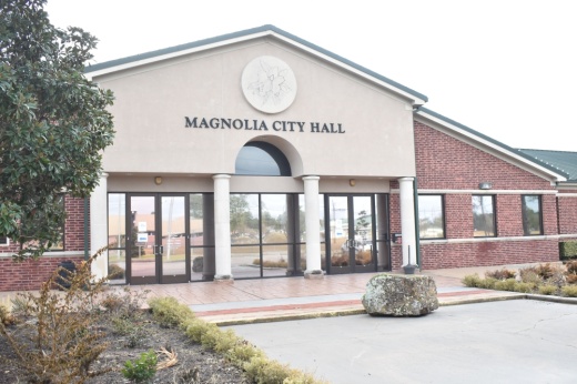
Around 60 people attended the city of Magnolia’s first meeting on its master thoroughfare plan, which was held Feb. 1 at Magnolia City Hall.
The attendees included residents, developers, investors and city staff, urban planner Cristin Emshoff said via email. Emshoff is employed at AEI Engineering, which is developing the master thoroughfare plan for the city.
“The residents were complimentary to the consultant, AEI Engineering, a Baxter and Woodman Company, and were appreciative of the engaging and enthusiastic environment to share their feedback with the project team,” Emshoff said. “A video with drone footage of the city was shared at the meeting, which provided an overview of the project before the attendees were asked to gather around the project maps and give their concerns, criticisms and desires for roadway, bicycle, pedestrian and public transportation needs throughout the community.”
Emshoff said residents expressed concerns about traffic on roadways such as FM 1774 and FM 1488, a lack of alternate routes outside of subdivisions and narrow roadway widths.
“The residents agreed transportation relief is needed throughout the city to reduce the amount of time they sit in traffic when trains are blocking the crossing, and most were encouraged about the future Magnolia Relief Route that is planned for the future,” Emshoff said. “There is concern the existing roadways should be widened and have a larger turning radius for commercial vehicles and buses, and fire trucks.”
Following this first public meeting, recommendations for the city’s transportation network will be developed and presented to the public in April, according to the plan’s website. Residents and community members can share feedback via a survey on the plan’s website until two weeks after the second meeting in April.
“The plan evaluates the transportation improvements necessary to support the full build-out of known land uses documented in the city of Magnolia’s comprehensive plan,” Emshoff said. “The final master thoroughfare plan map aims to address the comments the residents provided at the meeting into one document, and to leverage the development community to build the new roadway systems as projects become necessary.”


