
Sugar Land announced Aug. 25 that, in preparation for Hurricane Laura, emergency planners have increased readiness to Level 2 for partial activation for a moderate event, with Level 1 being the highest level at full activation for a major event.
The emergency operations center is also activated, according to the city's website. Residents evacuating from coastal areas will likely be driving through Sugar Land, and city officials said local residents should avoid major evacuation routes, including Hwy. 90, Hwy. 59, Hwy. 6 and Hwy. 99.
For now, residents should still plan to shelter in place for several days by keeping gas tanks full and stocking up on emergency supplies, according to city officials.
Posted at 2:57 p.m. on Aug. 24
As communities brace for tropical storms Marco and Laura to make landfall this week, city leaders in Sugar Land and Missouri City are taking steps to make sure their cities' residents are prepared.
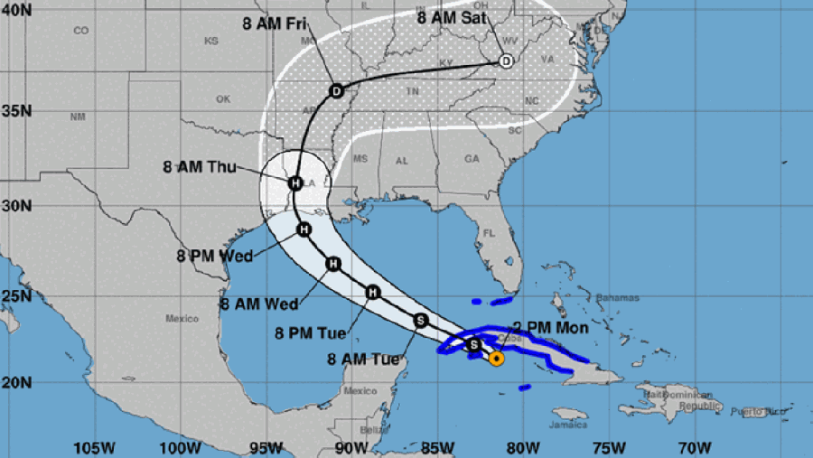
Weather experts in the Greater Houston area anticipate Tropical Storm Marco will dissipate off the Louisiana coast. However, Tropical Storm Laura could make landfall in southeast Texas on Wednesday as a Category 2 or 3 hurricane.
In Sugar Land, staff is closely monitoring both storms and has participated in daily conference calls with the state operations center, Mayor Joe Zimmerman said in an Aug. 24 video update on the city’s website. Zimmerman also said these forecasts could change.
“There remains a great deal of uncertainty, but there’s a possibility of two to four inches of rain for Sugar Land,” Zimmerman said in the video update. “Isolated areas could receive up to six inches of rain. We have been in constant contact with our flood-control partners.”
In Missouri City, staff is prepared for inclement weather, Media Relations Specialist Matt Sanders said in an email Aug. 24. Staffing has been assigned should the city’s emergency operations center be activated, and each department has assigned responsibilities to employees, Sanders shared.
Both cities are continuing to monitor the National Weather Service's updates and encouraged residents to do the same.
In Sugar Land, the Brazos River is well below the flood stage; the floodgates operated by Levee Improvement Districts are expected to remain open; and storage capacity exists in ditches and lakes that hold water during heavy rainfall events, Zimmerman said. LIDs in Sugar Land are also prepared to use their pumps if necessary, he said.
“We can expect flooded streets, damaging winds and power outages, which are always present during strong storms,” Zimmerman said.
Zimmerman said in an effort to keep storm drains clear, residents should secure loose items around their homes and avoid parking on streets. While it may not be necessary, residents should make plans and be prepared to shelter in place potentially for several days, keep gas tanks full and stock up on emergency supplies, he said.
Missouri City residents are encouraged to follow the city’s emergency outlets for updates on high water areas and flooding. Alerts via www.missouricityready.com and Twitter updates at www.twitter.com/missouricityem will provide real time information as the storms make landfall.
Sugar Land’s emergency operations center is ready for hurricane activation; city employees are on standby 24/7 to ensure the continued delivery of essential city services; front-line employees in public works, police and fire-EMS departments have checked fuel levels; and employees are ready for extended work schedules and have prepped response equipment.
Residents can visit www.sugarlandtx.gov, www.facebook.com/sugarlandtxgov and www.twitter.com/sugarlandtxgov for important updates.
“Please know that our city is ready to face whatever may come our way,” Zimmerman said.
Claire Shoop contributed to this report.