
The 2021 future land use map for Friendswood has officially been approved.
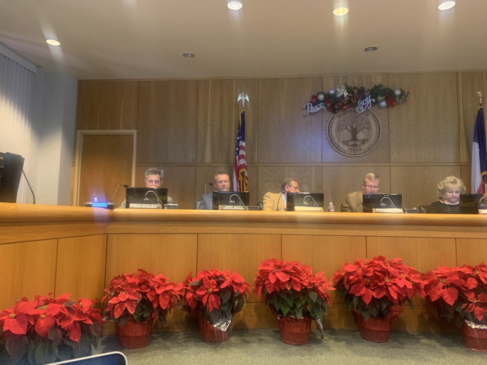
The second and final reading of the ordinance was passed unanimously at the Dec. 6 Friendswood City Council meeting. The idea for the new map, which was last updated in 2008, was brought forth by the planning committee as part of Friendswood’s comprehensive plan, as previously reported by Community Impact Newspaper.
“We made significant changes on current information to use as a guide for future zone changes. The updated information also allows us to make more educated calculations on where we're at as far as how the rest of Friendswood is going to develop,” Director of Community Development Aubrey Harbin said.
The new map will now be used to make future development decisions, such as zoning ordinances. Following the approval of the land use map, the next steps for the comprehensive plan will be updating any chapters that include the land use map and to update the rest of the comprehensive plan by the end of 2022, Harbin said.
Overall, the new land use map had three major changes along with other minor changes, with the major changes being in acreage to retail usage, adding a commercial designation, and adding a new color and category to the map.