
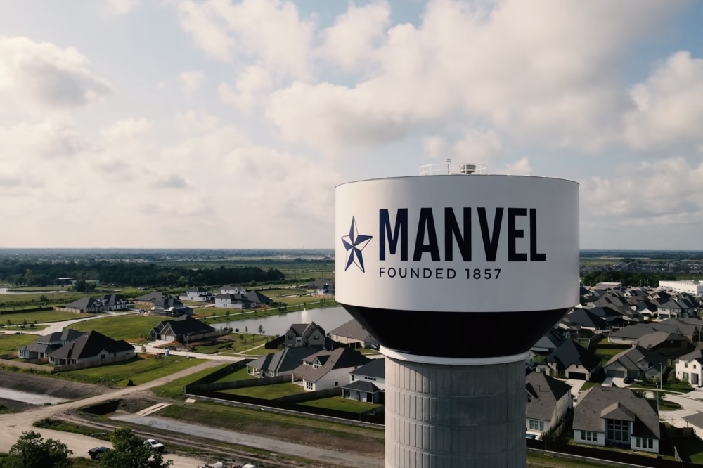
The updated plan was presented to Manvel City Council at its Jan. 5 meeting by Houston-based planning firm Kendig Keast Collaborative, which has been working with the city on both its thoroughfare and future land use plans.
The details
The thoroughfare plan is a long-range roadway planning document for future mobility needs, not a commitment to immediate construction, city officials said.
The plan organizes local roadways into three categories, based on their intended function:
- Parkways: plans to carry higher volumes of traffic, typically run across the city
- Arterials: plans to facilitate travel from point A to point B
- Collector: plans to move traffic into and out of specific neighborhoods or parts of the city, connecting them to the major roadway network
- Adjusted the southern portion of Kirby Drive alignment and changing its classification to Parkway, intended for higher traffic volumes
- Extended Charlotte Street alignment west from Iowa Lane to SH 288
- Connected Iowa Lane south of Hwy. 6 to Alleluia trail
- Removed McCoy Road north extension
- Lewis Lane, Cemetery Road and Patterson Road reclassified to Collector roadways
The thoroughfare plan updates follow the October presentation of Manvel’s first future land use map, which outlines how different areas of the city could develop over the next 10 to 20 years, according to city documents.
Gary Mitchell, Kendig Keast Collaborative’s president and project manager, described it as a “growth management tool” for the city at its Oct. 6 meeting.
The map places future land use into the following categories:
- Rural preservation
- Estate residential
- Suburban residential
- Master-planned development
- Commercial
- Industrial
During the meeting, Mayor Dan Davis raised concerns about balancing long-term mobility planning with rural preservation, particularly as growth continues to push south, east and into parts of the northern area of the city, according to city documents.
“Our infrastructure is not prepared to handle growth. I can understand the need to be prepared for mobility. You don’t want to end up like other cities where you’re sitting in traffic jams all day,” Davis said at the meeting. “At the same time, we don’t want to encourage development in those areas. How do we prepare for the future without preemptively designing the infrastructure that encourages a future we don’t want?”
Mitchell emphasized that the future land use map is a “what-if” document that shows what the city would like to see over time, working hand in hand with the thoroughfare plan to guide long-term planning decisions.
He added that roadway classification can be adjusted over time, noting that while a classification can be lowered if needed, it is far more difficult to upgrade a roadway later.
“If land is not turning over and there are no development proposals, it’s just a line on the map,” Mitchell said. “It’s preparing for a potential future. But for now, it’s a line for connectivity.”
What’s next
The thoroughfare plan and future land use map will continue to be used as planning tools, allowing Manvel to evaluate development proposals as they arise and adjust infrastructure plans as needed, according to city documents.