
FEMA will process the draft map and issue the Preliminary Flood Insurance Rate Map in summer 2022, said Brian Edmondson, project manager for HCFCD's Modeling, Assessment and Awareness Project, or MAAPnext. The new rates could take effect in 2023 or 2024, he said.
"This will be in a very important tool for homeowners, renters, communities in our area that they will be able to use to understand what the risk is that they face in their area—whether they're making decision to buy flood insurance [or] whether they're making a decision to move or buy a property," he said. "Everyone will have these results available to use ... any time they need to make a decision related to flood risk living in Harris County."
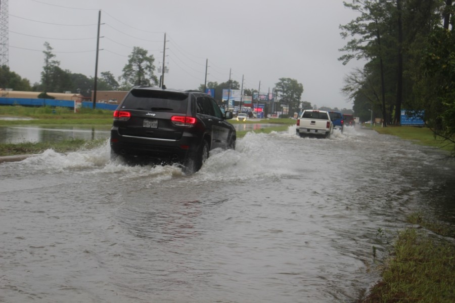
The county’s flood plain map has not been completely remapped since 2001, although it has been updated throughout the years after major storm events, Edmondson said. He said the flood control district decided to remap the county's flood plain map in part because officials noticed many flood insurance claims placed after major storm events were coming from outside the current boundaries of the flood plain map.
Additionally, the National Oceanic and Atmospheric Administration's Atlas 14 report showed rainfall had intensified over time. Atlas 14 data showed a roughly 30% rainfall increase in a 100-year storm event and a 40% increase in a 500-year storm, Edmondson said.
The new maps, which will also help shape flood mitigation projects and development standards, will likely show the 500-year flood plain is the new 100-year flood plain, Edmondson said.
"If you just look at the rainfall, the Atlas 14 100-year [storm] is very similar to the current effective 500-year rainfall," he said. "So if everything was held equal—we were using the exact same methodologies, there was no projects on the ground, terrains didn't change at all—then you would expect that the current effective 500-year [flood plain] would become the new 100-year flood plain."
Community members can track the flood control district's remapping effort at maapnext.org.
Editor's note: The condensed version of this article in the Lake Houston-Humble-Kingwood print edition included an incorrect cost for the remapping effort. Additionally, this version has been updated to clarify that 2001 was the last full remapping effort in Harris County, but the county has revised its flood plain map following major storm events since then.