
The overview
The two Meyergrove Detention basins would be used to temporarily store excess stormwater during heavy rain events, which would gradually drain back into the channel through outfall pipes as it becomes safe for the bayou to receive additional water, said Melissa Meyer, engineering division manager with the Harris County Flood Control District, during an Aug. 17 public meeting. The basins are being designed in a way to ensure flooding is not made worse downstream, per HCFCD requirements for all flood-control projects.
The Meyergrove detention basins are being funded in part by $9.9 million in federal dollars secured by U.S. Rep. Lizzie Fletcher in 2022. The HCFCD will cover the remaining $5.5 million in costs for the project.
Zooming out
The Brays Bayou watershed is roughly 127 square miles in size and contains 121 miles of open streams, Meyer said. The two Meyergrove basins will be located at the following sites:
- One larger site near the intersection of Loop 610 and North Braeswood Boulevard, which has been assigned the project ID of D500-11-00 by the HCFCD
- One smaller site that was added to the project when additional funding and land became available in the median between North and South Braeswood Boulevard, and between the railroad crossing and Linkwood Drive; the project has been given the ID of D500-12-00 by the HCFCD
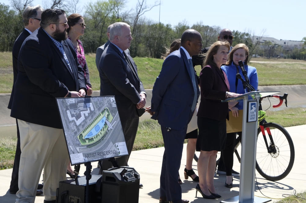
The larger, 7.7-acre basin will support overflow from Brays Bayou with a concrete weir, which will be constructed between the basin and Brays, Meyer said. It will be a wet-bottom basin, meaning there will be a permanent pool of water at the bottom of the basin. It will hold roughly 84 acre-feet of water.
The project will also include a small lake with wetland plantings, creating a park-like setting, as well as new trail construction in the area, Meyer said. Part of the existing 4-foot-wide sidewalk along Braeswood will be expanded to a 10-foot-wide hike and bike trail, she said.
The smaller, 3-acre basin will be a dry-bottom basin with a grassy bottom and will be designed to drain between rain events, Meyer said. It will hold 10 acre-feet of water. The two basins combined will have the capacity to store roughly 30.6 million gallons of stormwater.
Digging in
projects will mostly be useful for smaller rainfall events, Project Manager Rusty Lannin said at the meeting, giving an example of a storm that produces 6-7 inches of rain over the course of 5-6 hours. However, water is still expected to exceed banks during a 100-year storm event.
"The whole area is the bottom of the flood plain there, so I think any detention to hold back water helps everywhere," Lannin said at the meeting.
What else
Plans at the smaller basin call for the removal of plants and vegetation in the area, officials said. However, teams are evaluating possibilities to add plants back in, including the possibility of having trees on channel slopes.
What's next
The project is in the preconstruction phase, and a contract is expected to be awarded in the fall, officials said. Construction could start in late 2023 or early 2024 and is expected to last about nine months. Some closures of existing trails are expected near the larger basin, and trail users will be detoured to the sidewalk on the northern side of Braeswood. Some single-lane closures of Braeswood Boulevard near the project could also be warranted during construction, officials said.
Residents can leave comments though Aug. 31 here.