
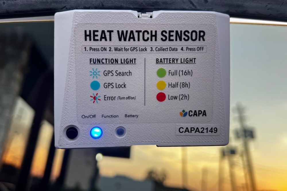
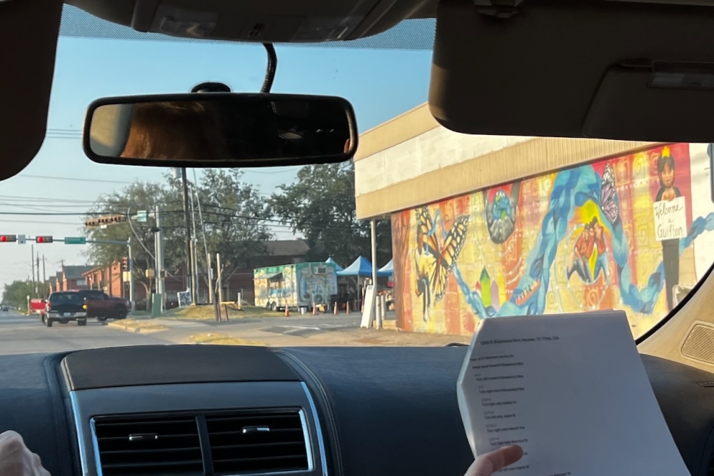
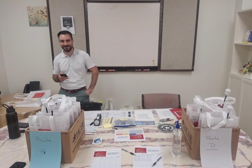
Murdock was one of more than 100 community volunteers who took to the streets of Harris County on Aug. 10 to record ambient temperatures and humidity during the three different time shifts, which took place in the morning, afternoon and evening. Car sensors were placed on vehicle windows to collect the data.
The big picture
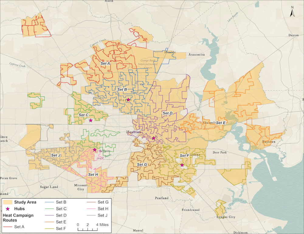
Drivers and their route navigators, or someone who helped the driver correctly maneuver along predetermined routes, covered more than 1,260 miles across Houston and Harris County. With the collective data captured from the vehicles, climate officials with the Houston Harris Heat Action Team, the Houston Advanced Research Center, and 10 Houston and Harris County governmental departments, alongside various nonprofit partners, will be able to understand the levels of heat and humidity found in Houston's underserved communities.
The public data will be available in the fall, and will be used to identify Houston's most high-risk heat areas and guide heat mitigation solutions to communities that need it most, said Stephanie Piper, HARC's research associate in climate and equity.
"We have the end goal of [heat] mitigation for a lot of this. This is part of a larger [U.S. Department of Agriculture] grant called 'ForUsTree,' which is like the word forestry, which the goal of that is to plant 50,000 trees in disadvantaged areas in Houston and Harris County," Piper said.
HARC was awarded a federal $15 million grant last September that aims to create heat-mitigating initiatives for the next five years in Houston and Harris County as well as increase tree canopy, foster community resilience and improve access to employment in underserved communities, according to a news release.
Also of note
After Hurricane Beryl ravaged Harris County in July, environment officials estimated Beryl’s winds affected 50% of the Houston area’s urban tree population.
When it comes to strategically placing new vegetation in Harris County, where certain areas are susceptible to potentially causing damage to energy grid distribution lines, Piper said all the organizations involved in this project are not only following science as the baseline, but they will work alongside local community leaders and stakeholders to address where the tree planting will best benefit the residents.
"When we're thinking about trees as a mitigation tool, there's definitely a balance. The maintenance side of it, and being sure the trees are able to survive and be able to to provide those benefits is definitely key. But this data provides [answers to], 'Where are the biggest problems?' And then we're working within those other partners to identify, 'Can we plant a tree here?'" Piper said.
Quote of note
2020 was the last year a similar heat-mapping campaign took place. During the last campaign, The Houston Harris Heat Action Team identified Alief and Gulfton as two of Harris County's hottest neighborhoods, by a scale of being 17 degrees Fahrenheit warmer than the coolest areas. Harris County Precinct 4 Commissioner Lesley Briones oversees those communities in her precinct and said her office is also investing $2.4 million to plant trees and install shade structures in those high-risk areas.
"This investment will expand the tree canopy, offer more shade, reduce temperatures and combat the urban heat island effect. Tragically, we have already lost at least 11 lives to heat-related injuries in Harris County so far this summer. As climate change continues to intensify extreme heat in our region, we must act decisively to protect our most vulnerable communities. The 2024 heat-mapping data will help guide our next steps in building a more resilient Harris County," Briones said in a statement.
Going forward
Lisa Lin, Harris County's director of sustainability, said the data collected will benefit the county's ongoing efforts to mitigate urban heat impacts. Under the county's 2023 Climate Action Plan guidelines, extreme weather events do not impact all communities equally when it comes to public health.
"Even in the time between 2020 to this year, there's development patterns that have changed. Trees have been lost due to extreme weather events, the drought, the derecho and Hurricane Beryl. We know that the built environment is constantly changing. We need this information that's up to date to help us plan for the future. We're not only increasing tree canopy, but we're increasing tree canopy in places that are in high need because they have extreme heat impacts affecting their ability to have healthy lifestyles," Lin said.