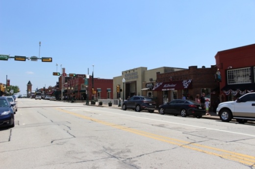
In June WGI Parking Planners presented its findings from a parking study to City Council, concluding that much of the parking in the transit district and downtown was underutilized, even during periods of peak parking demand, according to meeting documents.
WGI recommended the city add wayfinding signage and enhance the city’s website technology to add an interactive parking map. This map would show all the available public parking in downtown and the transit district, according to meeting documents. City staff said this could look like a visitor identifying a point of interest or destination online, and then all public parking within the designated radius of that spot would be shown.
The goal is to increase the awareness and use of all city parking lots, “not just obvious on-street parking,” WGI Senior Project Manager Nicole Chinea said in a letter to Grapevine staff.
With the approval, WGI will spend the next eight weeks determining where signs should go and what sort of signs they should be to help people find parking. The interactive map tool will also be live on the city website at the end of those weeks as well.


