Current situation
Heavy snow and mixed precipitation is possible from late Wednesday through Friday afternoon, according to the National Weather Service. The service issued the storm watch Jan. 7.
The metroplex is can expect 1-3 inches of snow, sleet and ice while areas closer to the Red River may see up to 3-6 inches, according to the service. The storm is expected to peak Thursday and Thursday night, said Matt Bishop, a meteorologist with the service.
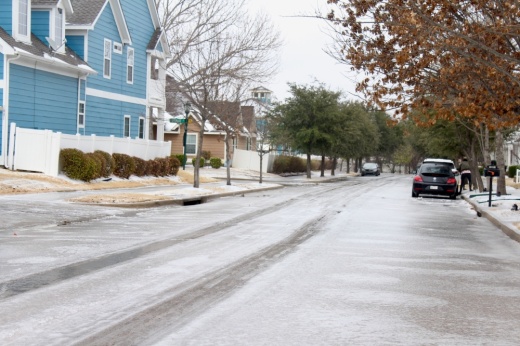
Roads, especially bridges and overpasses, are expected to become slick and hazardous, according to the service. Sleet and snow will impact travel starting Thursday morning and continue through Thursday night, Bishop said.
“Usually it takes a few degrees below freezing for the roads to really get iced up, but in this case ... wherever we see a mix of sleet and snow could stick on the roads and create slick spots,” he said.
Information on the upcoming weather can be found through the weather service’s website.


