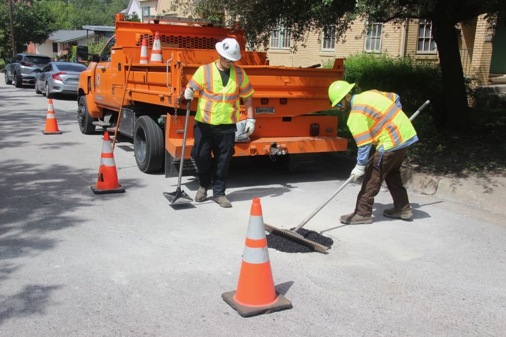
A city of Austin crew filled a pothole in Hancock, identified through Waymo's data partnership June 29. (Ben Thompson/Community Impact)
A new data-sharing program is helping Austin identify and fill potholes on city streets using data gathered by Waymo autonomous vehicles.
The big picture
Waymo vehicles are now detecting potholes in Austin as part of a new national pilot program using the Waze for Cities platform.
The free initiative involves Waymo vehicle systems tracking pothole locations and reporting them to local or state transportation agencies. Data is also shared with Waze users, who can be alerted of pothole reports and verify their accuracy through the navigation app.
Arielle Fleisher, policy development and research manager for Waymo, said the company developed the pilot to improve conditions for autonomous-vehicle passengers and supplement local road safety efforts. The Waze for Cities platform is available across the U.S., and Waymo is initially partnering with Austin, Atlanta, Phoenix, Los Angeles and San Francisco on the pothole pilot.
"Cities already have really robust 311 programs, but how can we help them be a little bit more proactive, help them identify those potholes in their city?” Fleisher said at a June 29 event in Hancock.
Zooming in
City street and bridge crews filled more than 1,800 resident-reported potholes in 2025 alone, according to Lewis Leff, an assistant director with Austin Transportation and Public Works. So far this year, several dozen potential pothole locations have already been identified through the Waymo data-sharing initiative that Leff said is now serving as "another set of eyes" on local streets.
The typical temporary repair costs $115, while a permanent repair for a 9-square-foot hole is estimated at $1,300, according to the transportation department. Those estimates include equipment, hot mix and crew travel time. Pothole repair costs are included in the annual budget for Austin Transportation and Public Works.
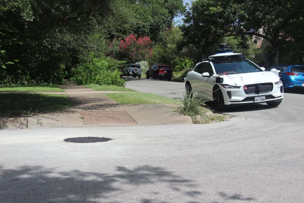
A Waymo autonomous vehicle parked near a newly filled pothole in Central Austin. (Ben Thompson/Community Impact)
Waymo vehicles in Austin are reporting the latitude, longitude and on-street placement of potholes. Leff said the city can respond to more severe roadway impacts in one to two days, while smaller potholes or those on side streets may be filled on a longer timeframe.
“We want to make sure that we’re addressing them as fast and as often as we can, also knowing that we’ve got other priorities within the department as well. So trying to have that transportation network, pavement conditions be as good as possible over time, and that really relies on residents reporting back and new sources of information so that we have eyes across the whole 300 square miles of Austin," he said.
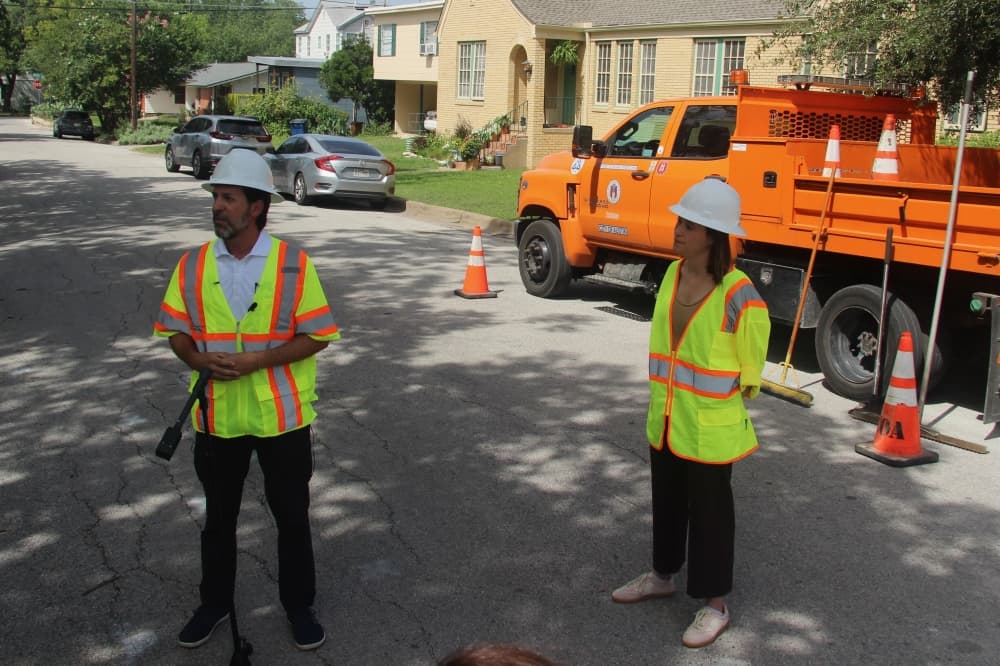
Austin and Waymo representatives detailed a data-sharing partnership that's addressing potholes on city roads. (Ben Thompson/Community Impact)
Officials also said the Waymo data-sharing program is intended to expand, and could begin to include other types of reported information in the future.
“We are seeing hundreds of autonomous vehicles on our roads every day, and what we’re seeing now is that shift from something new and different and exciting to something that’s going to be a little bit more commonplace," Leff said. "What we’re really excited about is not only the benefit and the promise of enhanced safety but also about data and information.”