


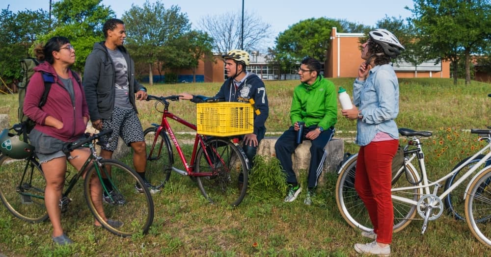
Austin Public Works and the Austin Transportation Department launched the ATX Walk Bike Roll Public Input Map on Jan. 18 that allows residents to provide feedback on how to improve walking and biking routes in the city.
Katie Wettick, Austin Public Works' Urban Trails Program manager, said the Urban Trails Plan is a continuation of an existing city plan from 2014. With the rapid growth in the city of Austin, transportation officials needed to change the plan to better accommodate residents regarding their transportation needs. The ATXWBR project consists of a combination of three separate plans, including the Urban Trails Plan, the Sidewalk Plan and the Bikeways Plan.
“We have a unified plan and serve as one network. It just seemed so natural to come together. Also, nice to go into the public and ask them what they need,” Wettick said.
The ATX Walk Bike Roll project addresses the areas where residents experience gaps or challenges in their routes, potential locations for new trails, bikeways or connections, and places with difficult crossings. It is specifically targeting diverse communities who are typically left out when it comes to affordable and accessible transportation. Wettick said both the bikeways and urban trails plans did not have equity, which is driving the need for an updated plan.