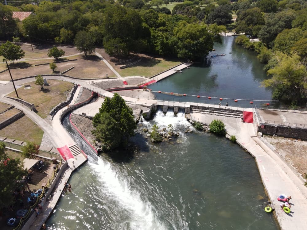
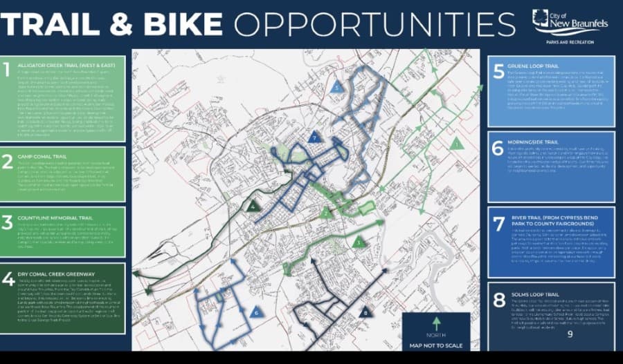
A planning document from 2010 used by the New Braunfels Parks, Planning and Engineering Department has officially been overhauled by city officials.
Updates approved by City Council during the Jan. 11 meeting include a new interactive map, a trail inventory and a definition of different trail types.
City staff said the process of updating the 2010 document began July 2019 and was completed in January 2020.
Various public outreach efforts were then conducted by staff prior to council adopting the update Jan. 11.