
Lakeway and Bee Cave
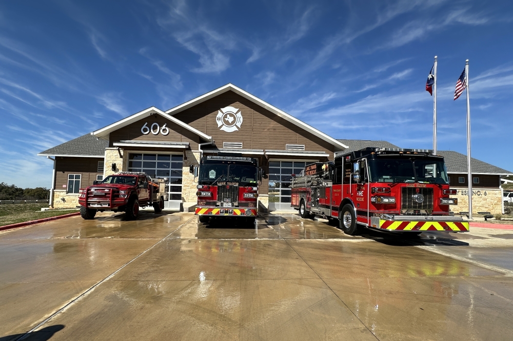
Lake Travis Fire Rescue, or LTFR, services the cities of Lakeway and Bee Cave, as well as other Travis County localities like Steiner Ranch. LTFR Fire Chief Robert Abbott held several town hall meetings in February and March with Representative Vikki Goodwin as well as Mayor Kara King in Bee Cave, sharing information with residents regarding wildfire risk and mitigation strategies.
Both Bee Cave and Lakeway are considered part of what is referred to as the Wildland Urban Interface, meaning, they are both communities that border on flammable vegetation and wooded areas. While geographic factors like this contribute to wildfire risk in the region, environmental issues like drought can worsen conditions.
Currently, the Lake Travis region is in a Stage D-3 drought, or extreme drought, according to the Southwestern Travis County Groundwater Conservation District. This provides an increased amount of fuels for wildfires in the form of dead vegetation and leaves, Abbott said.
“Drought is certainly one of the biggest drivers of our wildfire risk,” LTFR wildfire mitigation specialist Dustin Dunn said. “Our larger vegetation like shrubs and trees are still in a pretty critical state and getting worse by the day. Looking at the National Interagency Fire Center’s predictive services, [it] shows that the next four months show us having significant wildfire potential.”
Bee Cave held a town hall with LTFR March 12 which detailed ways the city is currently supporting fire mitigation efforts. Currently, in terms of private space, the city is working to enforce city fire code, and encouraging residents to report any violations, King said. For public spaces, the city also works to maintain vegetation and mitigate fire through a variety of programs.
Friends of The Parks is a recurring volunteer opportunity facilitated by the Bee Cave parks department on the second Saturday of every month, which asks volunteers to assist with park cleanup, pulling out underbrush and maintaining vegetation.
Another program aiming to clear overgrown vegetation involves employing over 50 goats to graze on unwanted plants in public park spaces. Following the success and effectiveness of this program in 2024, the Parks and Facilities department has shown interest in bringing the goats back on a yearly basis, Bee Cave Director of Communications Crystal Cotti said.
Additionally, the city is planning to construct a new joint facility for LTFR and the Bee Cave Police Department. The fire department is currently at capacity but could call in additional units with the additional space provided if this facility is approved by voters in May, Abbott said.
In Lakeway, the city participates in a hazard mitigation plan every five years, which qualifies the city to receive FEMA funding in case of a disaster. On Feb. 3, the city publicly received a check $1.4 million reimbursement from FEMA for costs associated with 2023 Winter Storm Mara. The city is currently deciding on how to use these funds, and allocating a portion for wildfire mitigation is under consideration, Emergency Management Director Waheeda Yousofzoy said.
In terms of fire response, both cities employ a messaging system known as Voyent Alert to notify residents of fires or emergencies in the area. LTFR’s emergency notification system is Warn Central Texas, which provides similar alerts to residents of 10 counties in Central Texas.
In addition to signing up for alerts, both Abbott and Dunn emphasized the need for residents to harden their homes and mitigate their property, as well as stay prepared with go-bags packed in the event of an evacuation.
West Lake Hills and Rollingwood
The cities of West Lake Hills and Rollingwood are not serviced by LTFR, but rather by Austin Emergency Services District No. 9, also referred to as the Westlake Fire Department.
In West Lake Hills, citywide assessments by Firewise are conducted every three years, informing city officials of any fire mitigation obstacles found in the community. Based upon these assessments, the city creates a three-year action plan, which addresses education, home hardening, fuel reduction and evacuation planning related to wildfires.
In November, the city announced its most recent action plan, which in its first year, 2025, will involve developing online resources for fire safety, holding evacuation drills, reviewing unopened streets for emergency evacuation routes, and maintaining tree canopy, among other action items.
Rollingwood, being a smaller community with fewer residents, is part of Travis County’s Emergency Management Basic Plan. This plan is based on the National Incident Management System, which is a national system providing a framework for local emergency management. The city also maintains a Municipal Disaster Emergency Services Committee, which includes city officials like the mayor and city administrator.
The city has considerably less public space than West Lake Hills, meaning that home hardening on private land is a key part of mitigating fire risk, ESD 9 Fire Chief David Wilson said. The department is encouraging residents to seek out evaluations to assess their homes’ vulnerabilities.
“We really try and partner with our residents to inform them how they can do it,” Wilson said. “We can go out and we do hazard ignition zone evaluations, where the fire department goes out and provides advice on ways that they can reduce their risk. ... Maybe remove a tree off the roof or thin out the underbrush from the trees.”
While both cities are serviced by Warn Central Texas, West Lake Hills also hosts its own emergency alert system through the myAlerts app, which warns users of disasters as well as nonemergency incidents that impact residents. Similarly, Rollingwood utilizes Rave Mobile Alerts to inform residents of any local emergencies, weather events or other important updates.
Austin and Travis County
Fire mitigation efforts in the region have strengthened since 2011, when Steiner Ranch faced an evacuation order that revealed the area’s lack of adequate roads and infrastructure for emergency situations.
“When we look back on the Steiner Ranch fires of 2011, we have learned a lot of lessons relating to specifically how communities are developed,” Abbott said. “We’ve only had fire codes in our communities since 2006. That means any communities developed before that were not developed to the same codes a community would be approved on today.”
In addition to the development of residential fire codes, fire response capability has been strengthened in the region, with staffing levels increased, additional equipment and land, sea and air resource capabilities added, Abbott said.
“We’ve also changed our approach to not just being responsive,” Abbott said. “I think this is the key—not just being responsive, but being proactive. Trying to get ahead of this before it's actually a problem.”
Other unincorporated areas in Travis County, such as Barton Creek and Glenlake, are mostly serviced by Austin Fire Department, or AFD. A map of Austin Emergency Services Districts is available online, detailing coverage for areas not served by AFD.
For residents in these regions, AFD provides online video training for home ignition zone assessments, which evaluate homes’ vulnerability to wildfire. With some homes in these areas located near Balcones Canyonland Preserves, residents may need to take caution when trimming vegetation near property boundaries to avoid encroaching on protected wildlands, according to AFD’s website.