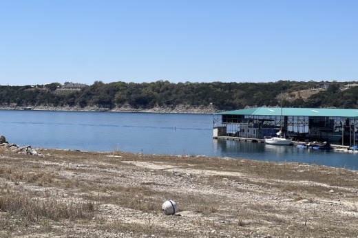
This declaration institutes groundwater use reduction measures and restrictions, such as a voluntary or required 30% reduction in groundwater usage for wells depending on the type of permit issued; tighter restrictions on watering outdoor vegetation; discouraging the pumping of groundwater into livestock tanks; and more.
The drought stage for the district is defined as the highest level of drought intensity over at least 25% of the land area over at least two weeks, the press release said. The declaration of being in "severe drought" corresponds to the U.S. Drought Monitor intensity levels, which go from D-0, meaning abnormally dry, to D-4, or exceptional drought. The current designation falls into D-3, or extreme drought, which the press release said the district passed the threshold for in late June. Officials previously upgraded the area to D-2 on June 17.
The decision by the board to change the drought status may consider other factors that influence aquifer conditions and outlook, according to the press release.
More information on these restrictions can be found on the district's website along with guidelines for residents with groundwater wells. Additionally, a boundary map of the conservation district is available here.


