Georgetown’s 2030 future land-use plan, or FLUP, is being updated for the first time since 2008.
The new map is not vastly different than the 2008 map, Housing Coordinator Susan Watkins said. Rather, the categories of land uses depicted on the map have been updated and better defined.
“We looked at how 2019 is different than 2008 and how to make sure that is reflected so that development can be processed smoothly and the community will grow the way it wants to grow for 2030,” Watkins said.
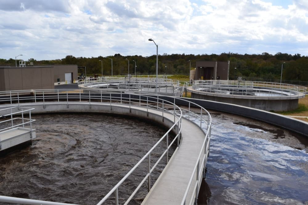
A FLUP serves as a road map or blueprint for how the city develops into the future, Long Range Planning Manager Nathaniel Waggoner said, adding it helps determine where an H-E-B, for example, should go versus a home, school, park or other places.
As part of the update, ideal ratios for mixed use were determined for each land-use category.
“We’re better defining what the primary land use versus secondary land use should be,” Waggoner said.
He said officials noticed singular types of development—all commercial or all residential—were being built in areas designated as mixed-use.
After much community outreach, city staff deduced that “complete neighborhoods” are what most residents desire.
To reflect that, there is now a level of mixed use in each category via the ratios.
“You can do some smaller commercial development in residential categories or have a few residences in primarily commercial,” Watkins said, adding the ratio percentages are not mandated but help to guide in decision making.
The 2008 category “residential” is now called “neighborhood” to capture the fact many people want amenities in their neighborhoods, Watkins said. “Commercial” areas are now called “centers” to reflect the idea that while there are primarily businesses in such a location, residences are allowed.
Communications Manager Keith Hutchinson observed an overall trend of integrating uses instead of separating them. He said corporate campuses built 20 and 30 years ago were more removed, and residential subdivisions were built miles away from anything commercial. Now, he said, people seem to desire having all those uses closer together.
What makes one neighborhood complete might differ from another neighborhood in Georgetown, so planners are careful not to generalize across the community and declare each neighborhood have the same components, Watkins said.
A FLUP foundation
“How we develop our neighborhoods very much informs how the rest of the city builds out,” Waggoner said. “Where we place our commercial nodes is informed by where we place our neighborhoods. Housing is our largest land use, which is why, given the changes in housing trends, it was important that we update it.”
He said the housing market has changed in terms of density, product type and land prices, which has an effect on availability and developability.
These changes are apparent in a portion of the FLUP map that is being updated: While many of the estimated commercial nodes—Wolf Crossing, Costco —have developed as expected, one area thought to someday hold a corporate campus is now the site of the Saddle Creek neighborhood.
Hutchinson said the fact it developed residential instead points to the city’s rapid population growth.
“There has been more development on the east side than was maybe anticipated,” he said. “Part of that is likely because land prices there are more affordable than [other areas of Georgetown].
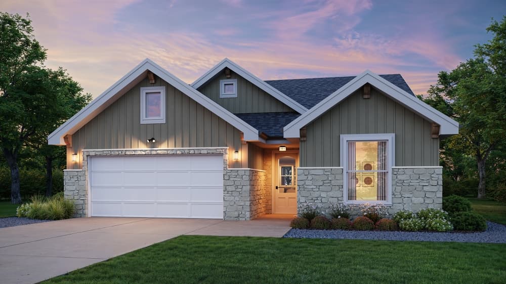
A focus on more affordable housing comes via the “mixed density” category, intended to increase housing diversity by allowing medium-density housing options such as duplexes and town homes to be located in the same neighborhood as lower-density homes, a staff document said.
"Limited amounts of multi-family housing like apartments and condos is permitted in the mixed use, community, regional, and employment center categories to provide higher-density housing while supporting vibrant places in the community,” the document said.
It said the category “rural residential” is for the lowest-density residential areas and will help maintain rural character on the edges of the city.
The “neighborhood” category reflects most of the neighborhoods currently in Georgetown: primarily single-family homes. The inclusion of limited commercial areas supports walkable, traditional neighborhoods, the document said.
It also said while the “employment center” category will support target industries, “the inclusion of small commercial uses at appropriate locations within neighborhoods is intended to support economic development opportunities.”
Regarding the plan’s many objectives, resident Jacqueline Gamache said it is important to preserve wildlands and rural areas while also building denser housing and mixed-use developments.
“My last city refused to build housing to keep up with the influx of people, and the established residents were forced out,” she said.
The 2030 FLUP, part of the overall 2030 comprehensive plan, is vital in updating other plans, such as housing, parks and transportation, Waggoner said. The entire 2030 plan is expected to go before City Council for approval in March.
“The city is being proactive in understanding what development trends are occurring today and the development trends we expect in the future,” he said. “This is not a crystal ball to look and say, ‘this is exactly the way Georgetown will develop'; it’s a guide to help us try and achieve what we want as a community.”