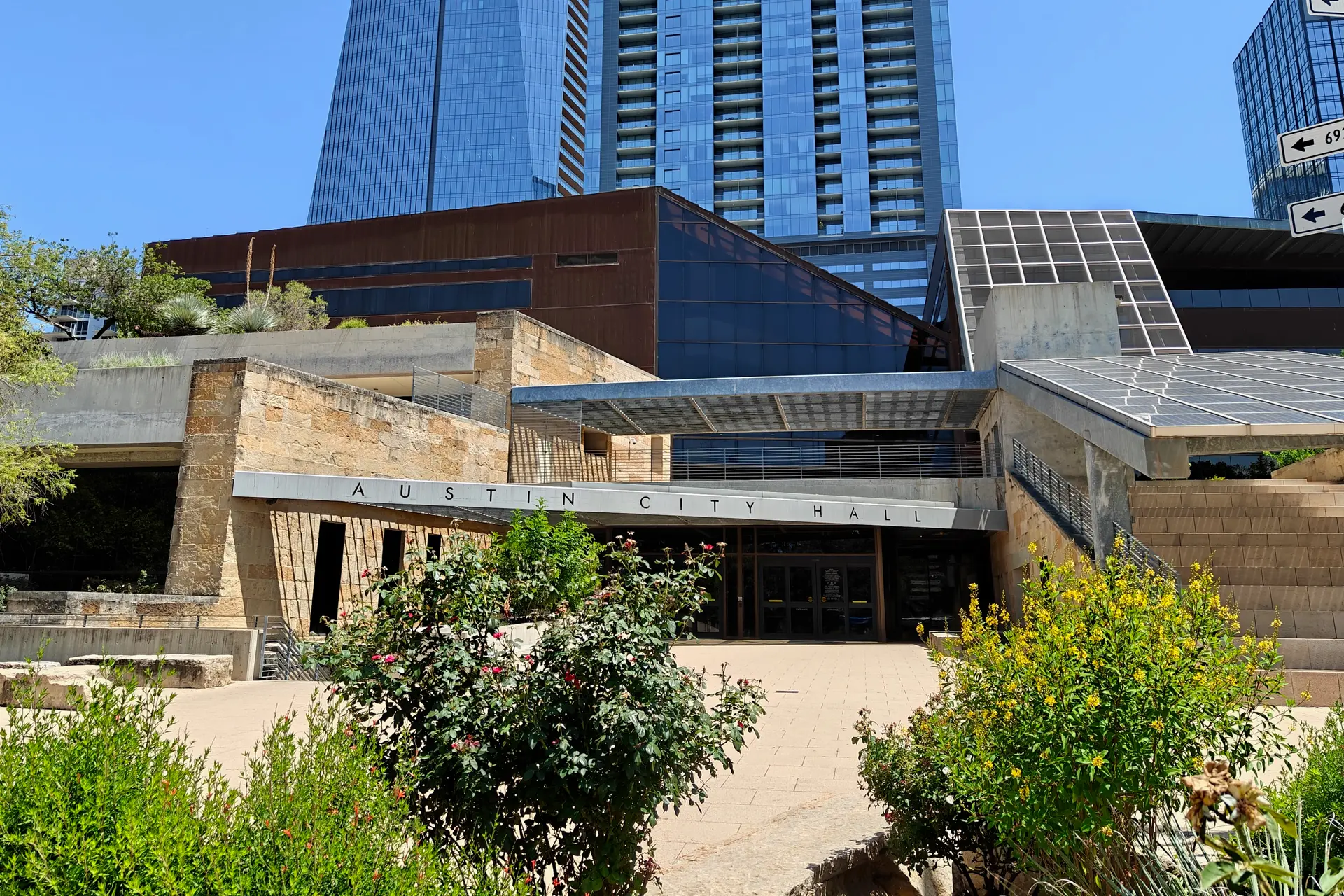
Austin City Council approved the rezoning for a new multifamily housing development located on the west side of Loop 360 on Oct. 8.
The rezoning will allow for a denser, mixed-use development with potential for both commercial and residential space, yet residents from the nearby Lost Creek neighborhood expressed concerns surrounding traffic dangers.
The background
The proposed development would include 475 multifamily units, with an affordable housing component and potential for ground-level retail and commercial uses.
The over 15-acre site is currently developed with office uses and a parking garage.
While the proposed development is located within the city of Austin’s jurisdiction, the properties located immediately west of the site, including the Lost Creek Neighborhood, were deannexed through an election permitted by House Bill 3053 and are now in the city's extraterritorial jurisdiction.
Austin city staff recommended approval of the rezoning request, citing that the project aligns with the council’s adopted goals by providing an avenue for more residential density and increased affordability.
“We need to have our piece of making sure that housing is being built and smaller footprints are being built for people who want to have that type of housing in Southwest Austin,” Council member Paige Ellis said.
The issue
Several community members from the Lost Creek neighborhood expressed concerns surrounding the increase in traffic the proposed development may bring to Loop 360.
The entrances to the new development and the Lost Creek neighborhood are both along Loop 360.
Travis County Commissioner Ann Howard wrote a letter to Austin City Council requesting a delay on the rezoning decision until a traffic impact analysis could be conducted.
“I have been told that it is known that this stretch of 360 has more crashes than others and is considered one of the most dangerous sections of 360,” Howard wrote in a letter.
The city previously stated that a traffic impact analysis was not required as the traffic expected from the proposal did not exceed the thresholds that trigger a traffic impact analysis under the city’s Land Development Code.
According to the code, a traffic impact analysis is not necessary in zoning applications if the project is expected to generate fewer than 2,000 vehicle trips per day.
Yet, Lost Creek residents do not believe this estimate is accurate.
“The traffic analysis waiver rests on a baseline that does not reflect conditions on the ground,” Lost Creek resident Scott Smith said. “We need to really understand peak hour congestion, turning movements, U-turns … . This is a very dangerous intersection … you can just drive by today and see the number of white bikes up and down this road.”
Beyond traffic issues, residents cited other concerns surrounding the proposed development including potential negative impacts on the environment, such as the increase in vehicles to Eanes Creek Watershed.
What else
The rezoning request passed with council member Marc Duchen voting in opposition.
Council member Paige Ellis voted in support of the rezoning, but also added a motion requesting that the subsequent site plan process ensure that the city, Texas Department of Transportation and other government partners will come together to make safety improvements along the affected stretch of Loop 360.
The improvements will focus on safe routes to schools, signal timing, illegal U-turns, crosswalk safety and building a sidewalk along Westbank Drive to Westlake High School.
“My first and foremost concern is to make sure that the traffic safety issues are handled,” Ellis said. “There are a lot of issues to be addressed here, and my main commitment is to make sure that people in Southwest Austin are safe, regardless of whether they live in the city limits or not.”