ABC 13's last update came at 6:52 a.m. Jan. 10. Here is the latest timeline for when severe storms and possible tornadoes are expected to hit.
Forecast
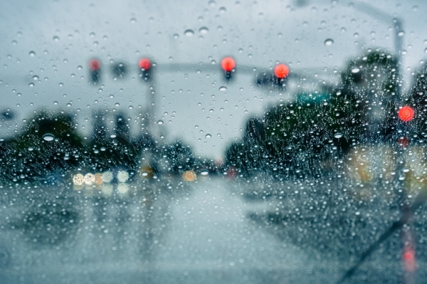
A line of thunderstorms with severe wind gusts is likely to roll through southeast Texas on Friday night.It will be business as usual most of the day Friday. Like Thursday, it will be breezy and mild in the morning with temps in the 70s and a few passing showers. Winds will be gusting above 30 mph at times, even when it is not raining.
In the latter half of Friday afternoon, ABC 13 will be monitoring MegaDoppler closely for scattered thunderstorms developing ahead of the main event expected to arrive Friday evening. There is a lower chance these afternoon thunderstorms will form, but if they do, they will rotate and possibly produce tornadoes, damaging winds and large hail. Most of the area will just get showers until the main line arrives late at night.
That round of strong-to-severe thunderstorms is expected to move through southeast Texas between 9 p.m. Friday and 3 a.m. Saturday morning. Confidence is increasing that this line of storms will impact Houston sometime between 10 p.m Friday, Jan. 10, and 2 a.m. Saturday, Jan. 11. The whole line will be moving at around 50 mph, so some storms within the line could turn severe and produce winds in excess of 75 mph along with isolated tornadoes. Some hail is possible as well. These storms will clear out quickly before sunrise Saturday, leaving the Houston area with a sunny, windy and cool weekend.
How to prepare
Ahead of the severe weather, officials are encouraging people to prepare.
Francisco Sanchez with the Harris County Office of Emergency Management encourages everyone to bring in items that could easily be picked up by wind.
That includes patio furniture, loose limbs, Christmas decorations and pets. He also suggested charging devices in advance and covering cars so they do not get damaged by hail.Severe Weather, Strong Winds Expected Overnight Friday
Bring pets inside
Secure loose objects such as outdoor furniture and toys
Move your vehicle under a covered area
MORE INFO HERE: https://t.co/OVukVp6wGw pic.twitter.com/wCDHh2FyRU — Office of Homeland Security & Emergency Management (@ReadyHarris) January 9, 2020
Pruning trees can keep them standing, even during strong gusts of wind.
Louis Flory with Ability Trees said the canopy of trees need to be thinned out so wind can pass through them, rather than just pushing up against them and ultimately causing them to fall.
"A combination of a lot of rain saturating the soil, loosening the soil, taking away the stability of the root system without it being able to anchor itself. You get some 25-35 mph winds, and a combination of rain, it doesn't take much to blow those real thick trees over," Flory said.
The storm system is expected to move in after dark, which will make it more challenging to see what is happening outside.
"Be watchful of your surroundings," Sanchez said. "If you find yourself somewhere where you hear the storm is coming through, the best thing to do is stay put. Wait for it to pass, and then go on to your next destination. If you're at home and you start experiencing high winds and hail, move to an interior wall to be safe."
From ABC 13
Severe weather
How to prepare