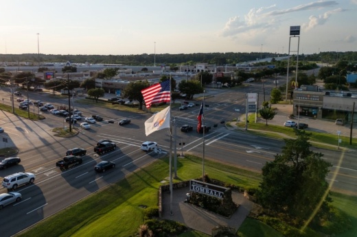
The city of Tomball’s newly adopted comprehensive plan serves as a long-term blueprint for managing the city’s growth, guiding development and shaping infrastructure over the next five to 10 years.
The plan reflects community input gathered through surveys and open houses, and focuses on areas such as future land use, economic development and transportation and mobility, per the plan. The last comprehensive plan was adopted in 2019, and the new plan was approved this June.
City leaders said the document will be used as a policy guide to inform rezoning, infrastructure investments and future development decisions.
“It’s not just a vision—it’s a tool,” former Assistant City Manager Jessica Rogers said.
What you need to know
As Tomball nears build-out within its 13.4-square-mile limits, city leaders are looking ahead to how the final pieces of undeveloped land will be used. The city’s newly adopted comprehensive plan outlines a refined future land use map that guides zoning, density and development decisions.
A future land use map is a visual blueprint showing how land across the city is intended to develop over time. While it doesn’t rezone property directly, it serves as a guide for future zoning and infrastructure decisions, which helps city officials, developers and residents understand where homes, businesses, parks and mixed-use areas are most appropriate, Community Development Director Craig Meyers said.
Meyers also said the plan introduces a new duplex zoning classification to diversify housing while maintaining the small-town character that residents value.
“We wanted to create more options without compromising what people love about Tomball,” Meyers said.
Additionally, to help channel focused development toward areas of the city, the plan defines two specific “focus areas”—the East Downtown District and the Medical District.
Diving in deeper
The new future land use map builds on years of data analysis, regional coordination and community feedback, per the comprehensive plan.
Meyers said planners considered Tomball’s strong growth and limited space to ensure the plan balanced redevelopment with preservation.
“You can’t just add land,” he said. “You have to plan for the land you have left.”
City data shows Tomball’s population has increased nearly 27% since 2010, with most new development filling in existing neighborhoods. Rogers said the map aims to direct that infill toward key corridors such as FM 2920 and Business 249 while protecting Old Town’s charm.
Although residents frequently requested more green space during public meetings, the plan’s new map shows little change in overall park allocation, focusing instead on balancing mixed-use and residential areas. Rogers said the plan reflects the reality of limited land.
“We’re nearly built out, so ... how do we evolve responsibly?” she said.
City officials said a growing focus on mixed-use and residential development reflects the need to accommodate Tomball’s rising population while maintaining its neighborhood character.
“We have to think about where people will live and how they’ll live,” Mayor Lori Klein Quinn said. “Adding more housing options, for different ages ... helps us welcome new residents while keeping Tomball’s small-town feel.”What else?
With the plan adopted, city staff will now use the map to guide rezoning and development decisions. Meyers said updates to the zoning ordinance are already underway to align with the new designations, including the addition of duplex zoning and adjustments in mixed-use corridors.
Council has begun reviewing zoning requests in line with the plan’s direction, prioritizing redevelopment within city limits over new expansion. City Manager David Esquivel said several infrastructure projects—including the FM 2920 reconstruction and Hardin Ditch drainage improvements—support that goal.
“The comp plan is the big picture,” Rogers said. “Now, every zoning case and infrastructure project will tie back to it.”


