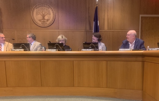
The need for the updated map was established by the planning subcommittee as part of the city of Friendswood's comprehensive plan, which has been an ongoing project since 2019.
"The comprehensive plan is an overarching plan that's intended to grasp what Friendswood's long-term goals are for a community in every aspect—from a development standpoint, from an operational standpoint, facility standpoint, parks, you name it," City Manager Morad Kabiri said in a Nov. 2 interview after the meeting.
The city has been revising the future land use map since the beginning of the year, and it serves as a way to plan for commercial development, city officials have said. The land use map is one component of the comprehensive plan and serves as a basis for the city's zoning ordinance, Kabiri said.
The updated future land use map contained multiple minor changes as well as three major changes to the 2008 map, such as changing acres to retail usage, adding a commercial designation, and adding a new color and category to the map. The council also held a public hearing Nov. 1 regarding the repealing and adoption before voting on the matter.
“The primary catalyst was to fall in line with our comprehensive plan. We use [the future land use map] as a guideline when people ask us to make changes,” said Marcus Perry, a member of the Friendswood Planning and Zoning Commission.
The commission unanimously voted to adopt the map at the Oct. 14 meeting and recommended the City Council do the same, as per agenda documents. The commission will continue to update the comprehensive plan and will use the updated map for future development.


