Update: 11:07 a.m June 25
The National Weather Service Forecast Office of Houston/Galveston published an update at 9:42 a.m. issuing a flood advisory until 11:30 a.m. in Fort Bend County, Harris County and southern Waller County.
“Minor flooding is ongoing and should be subsiding as a line of showers and thunderstorms from around Midfield to Iowa Colony to Pearland to Pasadena to near Mont Belvieu and to Moss Hill sags slowly southward,” the update states.
Areas that will experience flooding include Katy and Richmond, per the update.
Additionally, the NWS had issued a 4:04 a.m. flood warning at South Mayde Creek near Greenhouse Road in the Katy area. NWS will issue a statement at 4:15 p.m. June 25 related to this warning.
Areas affected include Peek Road, Barker, Jersey Village, Addicks, Trailside, Settlers Village and Greenhouse Road, per the update.
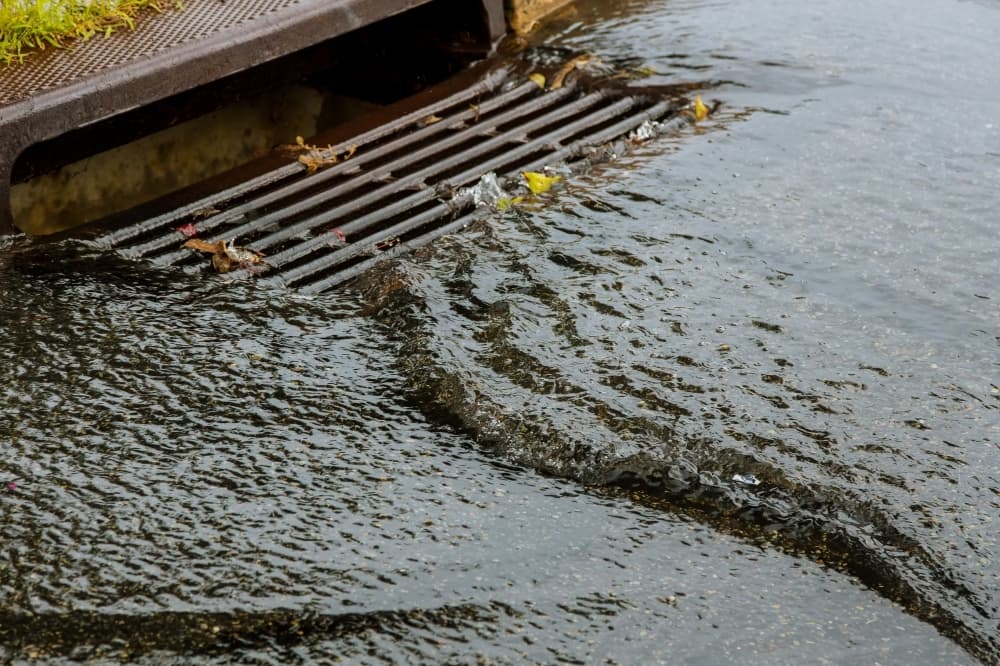
Houston TranStar does not report any high-water areas as of 10:55 a.m. but has noted a roadway flooding risk near the intersection of Saums and Greenhouse roads.
Rainfall totals in the Katy area over the past 24 hours range from 2.6 inches-8.32 inches as of 11 a.m., according to the Harris County Flood Warning System.
Update: 9:43 a.m. June 25
Fulshear Police Department issued two Facebook posts at 7:10 a.m. and 8:40 a.m. of reports of flooded roadways:
- Bois D’ Arc Lane and FM 1093
- Winner Foster Road and Bois D’Arc
- 8000 block of FM 359 near the Fulshear Post Office
- FM 1093 in front of Cross Creek Ranch, eastbound
- Polo Ranch entrance at FM 1093
- 29000 FM 1093, westbound
- 29200 block of FM 1093, westbound
Update 9:17 a.m. June 25The city of Katy identified two high-water locations in an 8:44 a.m. Facebook post. There are temporary road closures at the following locations:
- Franz Road: westbound from East Avenue to Avenue D; and
- Cane Island Parkway near FM 1463 and I-10
Jeff Linder, a meteorologist with the Harris County Flood Control District, shared a photograph on Twitter from Ian Shelton, also with the HCFCD, of the flooding at South Mayde Creek at Greenhouse Road in Katy.
Update: the article, which published at 7:51 a.m. updated at 8:25 a.m. to show that there is a roadway flooding risk near the intersection of Saums and Greenhouse roads.
The National Weather Service Forecast Office of Houston/Galveston has issued a flash flood warning in the Katy area.
NWS issued a flash flood warning at 6:59 a.m. for northwestern Fort Bend County and Harris County among other counties until 9:45 a.m.
The areas listed in the warning include Katy, Brookshire, Park Ten, Fulshear and Cinco Ranch.
“Between 4 and 7 inches of rain have fallen and an additional 1 to 3 inches are possible in the next two hours or so,” the 6:59 a.m. update reads.
The Harris County Flood Warning System has recorded 2.68 inches to 8.16 inches of rainfall in the Katy areas over the past 24 hours as of 7:40 a.m.
Houston TranStar shows no high water locations in the Katy area as of 7:30 a.m., but has identified a roadway flooding risk near the intersection of Saums and Greenhouse roads.