About the project
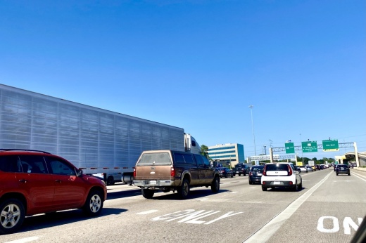
The $347 million Texas Department of Transportation project is intended to make improvements along the nearly two-mile stretch of I-10 from the Heights Boulevard to I-45, elevating the highway to mitigate future flooding in the area.
The project scope includes elevating the five 12-foot-wide lanes in each direction, and creating a 10-foot-wide inside lane, outside shoulders and a 14-foot-wide high-occupancy vehicle lane in each direction. Additionally, the project will include constructing a 26-acre detention pond beneath the elevated I-10 main lanes and a 10-foot wide shared-use path connecting to the existing trail system, according to project details.
Specific details
According to a Jan. 9 press release from TxDOT, road closures for the White Oak Bayou project include closing the westbound Taylor Street exit and the entrance ramp, and turning the five westbound lanes down to three open lanes. TxDOT spokesperson Kristina Hadley said the closures will remain until the project is finished at the end of 2028.
Hadley said the Houston Avenue Bridge will also be removed as part of the project and reconstructed to run under I-10 to eliminate further bridge strikes. M-K-T's Hike and Bike Trail will be temporarily impacted as well, but there are alternate routes and detours for pedestrians to use, Hadley said.
What else?
Harris County Precinct 4 Commissioner Lesley Briones also announced in a Jan. 13 press release that Precinct 4 has received a $2 million grant for its I-10 Inner Katy Cap Park study, which is a part of the Reconnecting Communities Pilot Program, a $5 billion federal investment by the Joe Biden-Kamala Harris Administration to address infrastructure barriers across the United States.
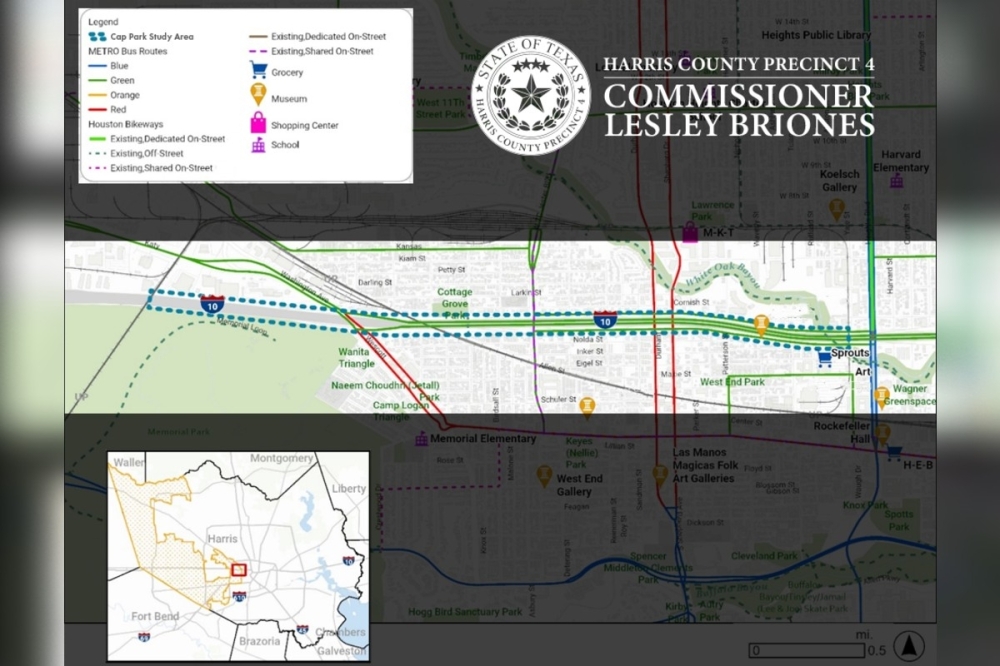
The study will assess the feasibility of creating a community supported cap park throughout a 3.2 mile stretch of the Katy Freeway from the White Oak Bayou to Old Katy Road.
Luis Guajardo, the director of planning and community development at Harris County Precinct 4, said a cap park project essentially creates a series of pocket parks above the highway, especially in key north or south connector streets such as Shepherd Drive, T.C. Jester Boulevard, Heights Boulevard and Yale Street. Their hope is to connect Houston with continuous pathways and enhance bike, pedestrian and transit access.
"This Reconnecting Communities study will allow us to prioritize future infrastructure investments focused on enhancing safety, connecting our community and improving access to schools, healthcare facilities and workplaces,” Briones said. “This infrastructure would also enhance access to Houston’s crown jewel—Memorial Park, which is twice the size of Central Park and serves people from over 170 ZIP codes."

Federal funds for the cap park project will cover 80% of the study’s estimated $2.5 million cost. Precinct 4 will cover the remaining 20%, or $500,000.
Guajardo said the study is likely to begin toward the end of 2026 or early 2027, as they have to go through agreements between the United States Department of Transportation, Harris County and TxDOT.
“As a society nowadays, we’re not building highways to segregate, both racially or economically, we’re really looking to bridge those communities and reinvigorate them with public space that serves multiple uses, not just one,” Guajardo told Community Impact.


