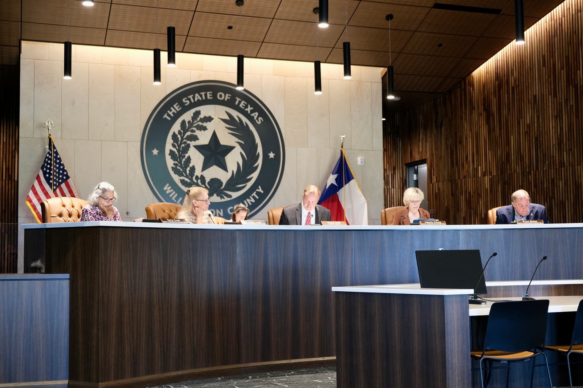
Williamson County commissioners adopted the Atlas 14 Floodplain Mapping Study on March 24, which identifies flood-prone areas to guide growth and development in the county to help reduce flood risk, according to county documents.
How it works
The Atlas 14 study identifies flood-prone areas using updated scientific rainfall data from the National Oceanic and Atmospheric Administration, along with topographic information.
Williamson County will use the study for drainage and floodplain management in the county's unincorporated areas, according to a news release.
The Texas Water Development Board accepted the study in 2025, and with recent court approval, the study can be used to regulate the floodplains and enforce permits for encroachment.
The impact
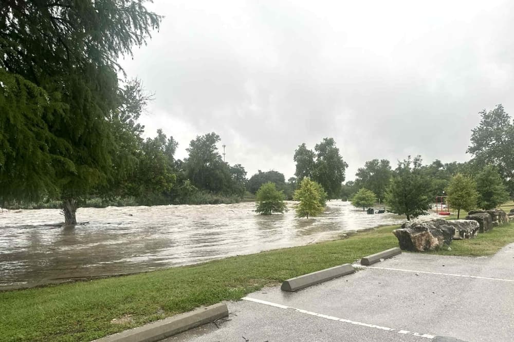
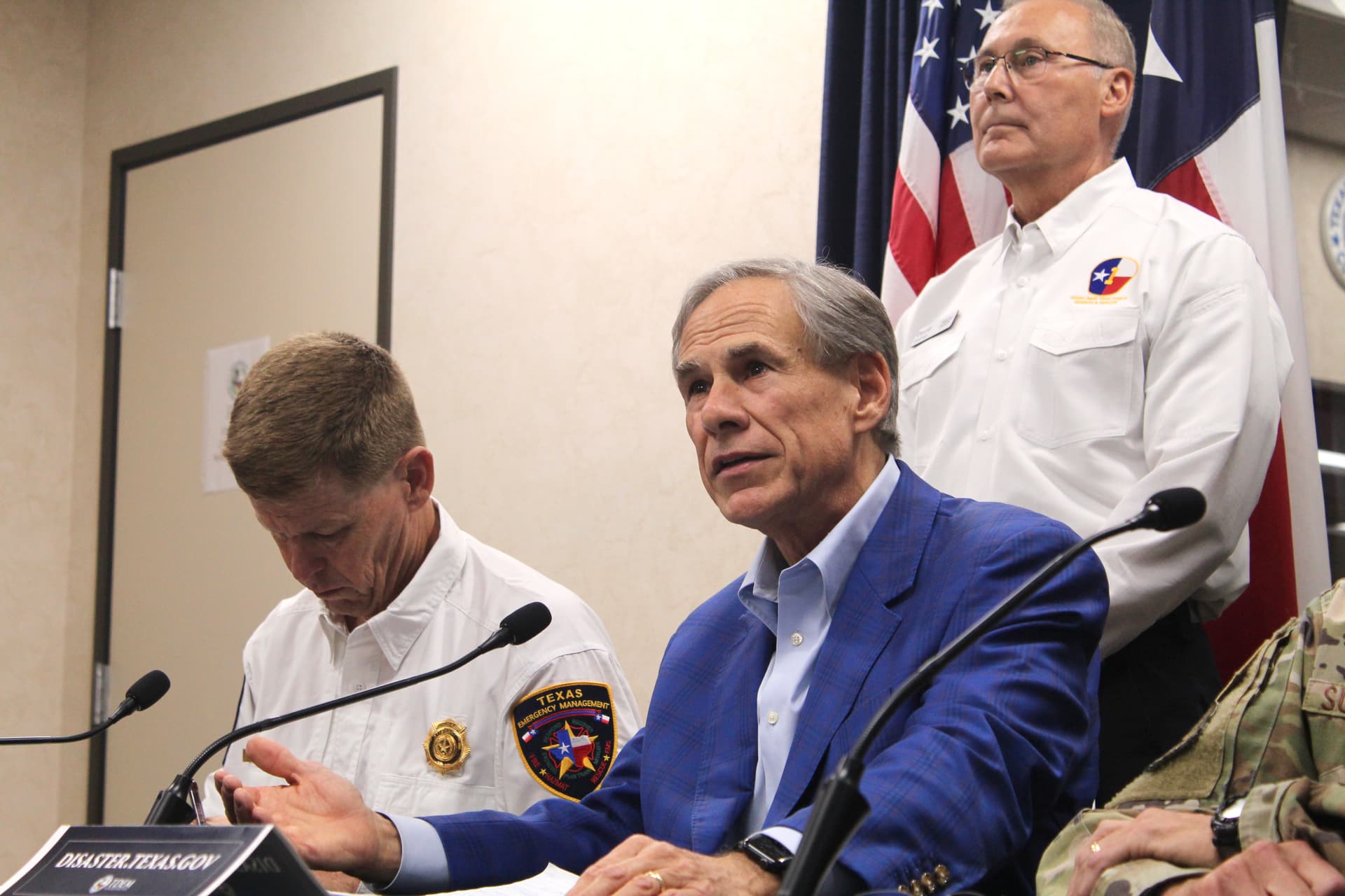
In the past decade, Williamson County has experienced severe flooding, including in 2010, 2015 and 2017. Most recently, deadly floods over the July 4, 2025, weekend devastated parts of the county.
“There was a bunch that we didn't know, and I think we're going to see ... as the growth comes, the advantages to the county staff, or our city staff, to help keep our citizens safe, that’s going to be invaluable,” Precinct 4 commissioner Russ Boles said.
The history
NOAA analyzed historical rainfall records to estimate precipitation frequency in the U.S., and the resulting NOAA Atlas 14 rainfall data became available to Texas in 2018.
Williamson County began the Atlas 14 Floodplain Mapping Study in 2021 after receiving grant funding from TWDB. The study aimed to identify current 100-year flood zone areas and update rainfall data throughout the county, according to county documents.