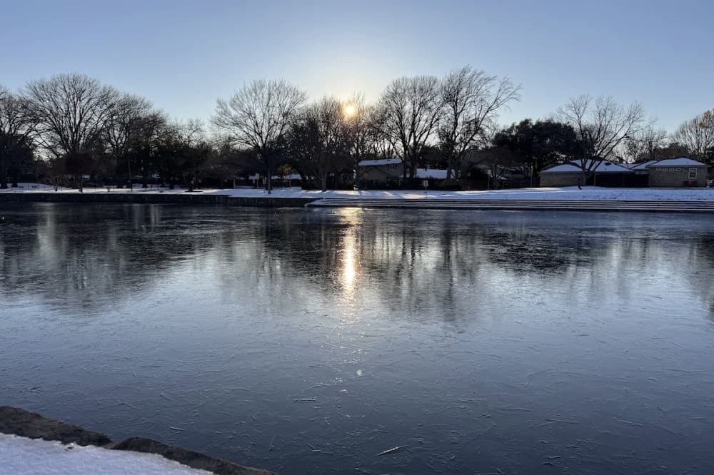
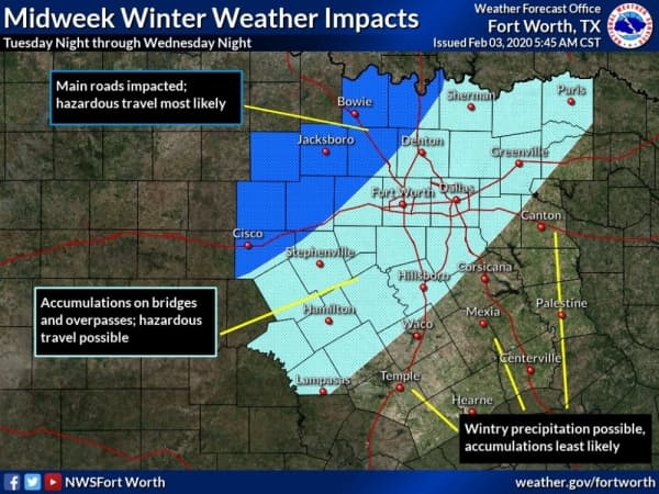
Less than an inch of sleet and snow are expected throughout much of the Dallas-Fort Worth metroplex from a strong cold front headed for the area in the overnight hours of Feb. 5.
The National Weather Service issued a winter storm watch Feb. 3 for areas northwest of a line from Cisco to Gainesville, as that area could see 1-3 inches of heavy mixed precipitation. Areas to the southeast of that line are likely to get half an inch of freezing rain between midnight and the afternoon of Feb. 5, according to the NWS.
“The more northwest you are [in the metroplex], the more likely you’ll experience some sort of impact and the further southeast you are the less likely,” NWS meteorologist Bianca Garcia said. “We may see some minor accumulation on bridges and overpasses, so that may lead to some hazardous travel. We’re expecting a winter mix, so it could be a mix of freezing rain, sleet and possibly some snow in there in the Tuesday-night-into-Wednesday hours.”
While Denton and Parker counties, as well as those farther southeast, are not currently included in the winter storm watch, Garcia said that could still change.