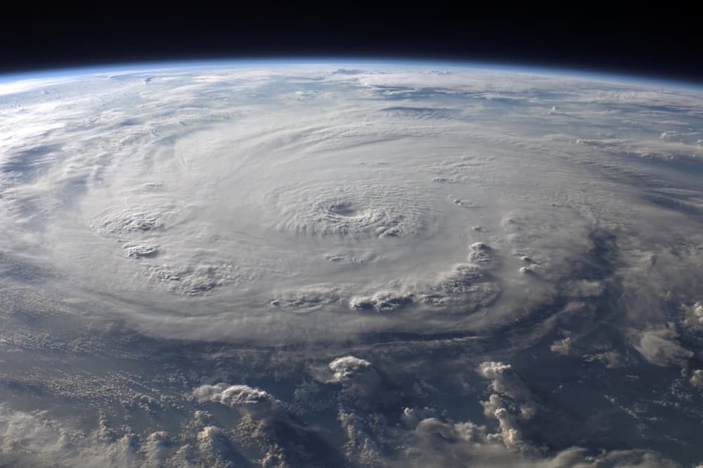
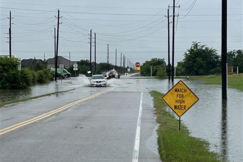


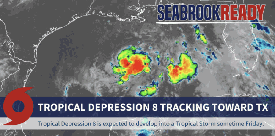
Tropical Depression 8 could cause heavy rains and flash flooding along coasts near the Houston-Galveston area July 24 and 25, meteorologists said July 23.
The storm, known as TD8, is forecast to become Tropical Storm Hanna as it moves across the Gulf toward the Texas coast, said Dan Reilly, warning coordination meteorologist for the National Weather Service, in a July 23 email. Rains and flash flooding are the main concerns along coastal areas, as well as gusty winds and elevated tides, per the email.
The greatest chance of tropical storm-force winds, at maximum speeds of 35 miles per hour, will be around Matagorda Bay, according to slides in Reilly’s email. Matagorda Bay is roughly 100 miles from both Houston and Galveston.
The disturbance developed into a tropical depression during the early morning hours of July 23, Reilly wrote. Tropical storm watches are in effect for much of the Texas coast, with the storm expected to make landfall July 25. However, chances of tropical storm-force winds are no higher than 20% for the Houston-Galveston area: chances are between 5% and 10% from High Island to Galveston Bay and 10% to 20% from Galveston to Matagorda.